Via Danube - a road between water and mountains
Text. Marius Barbieri, Sociologist Simona Zărnescu, Historian Mircea Gliogor

The establishment and then the development of human communities have always been linked to water, both for the consumption needs of humans and animals and for its economic value as a source of food and a communication route. The modernization of lifestyles has made water a particularly attractive element of the landscape, a change that has led to the value of watercourses as a place of tranquillity and relaxation.
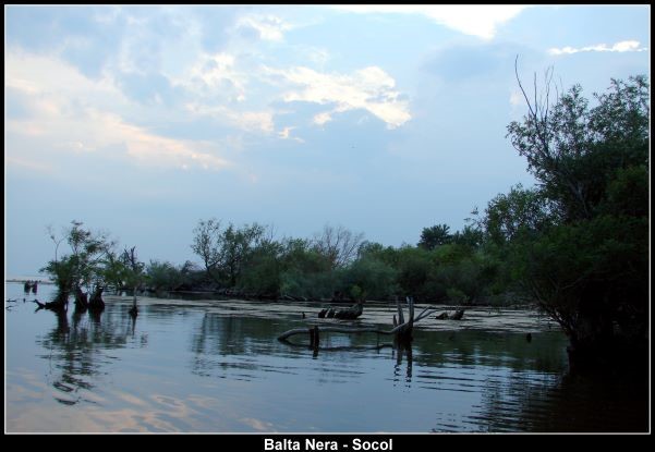
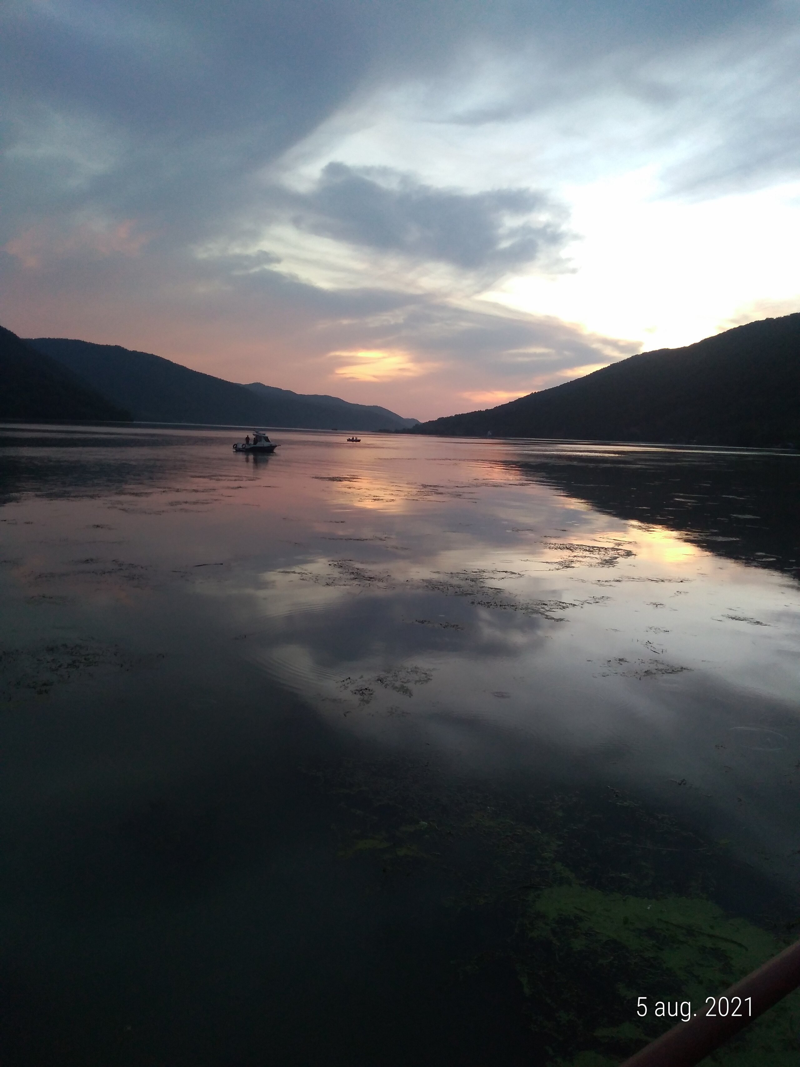
The Danube river has formed one of the most beautiful places in Romania, the Danube Gorge, where the shimmering waters of the Iron Gates Lake meet the spectacle of the Almăj and Locvei mountains and the idyllic landscape of the Serbian forests. The national roads DN 57 and 57A pass through localities with a strong personality, with specific architecture and clear street front alignments. On the left bank of the Danube, at the entrance to the country in the county of Caras-Severin, lie the administrative territories of five municipalities and one town: the municipalities of Socol with the village of Baziaș, the municipality of Pojejena, the town of Moldova Noua and the municipalities of Coronini, Sichievița and Berzasca. The whole area is characterized by a particularly rich natural landscape, with a large number of different types of nature reserves included in the territory of the Iron Gates Nature Park. We mention the wetland reserves (Balta Nera - Danube Socol, Calinovăț Island, wetland Divici-Pojejena and Ostrov Moldova Noua), bird-fauna reserves (Râpa cu Lăstuni-Divici or Divici Pojejena), or of other nature (Valea Mare - Moldova Noua), etc. In addition to these, there are a number of man-made objectives of tourist interest, defining the history of these places: first of all, fortifications belonging to different historical periods (Dacian, Roman and early feudal), prehistoric human settlements, evidence of mining, places of worship, etc.
All these resources have led to a certain amount of investment pressure in tourism, but this has not been as strong as in other areas and has been better managed by local authorities. Traditional houses, built according to the urban planning rules of the Austrian Empire, have been preserved. Most of these are ground-floor houses with continuous fronts, set along well-marked and sufficiently wide streets.
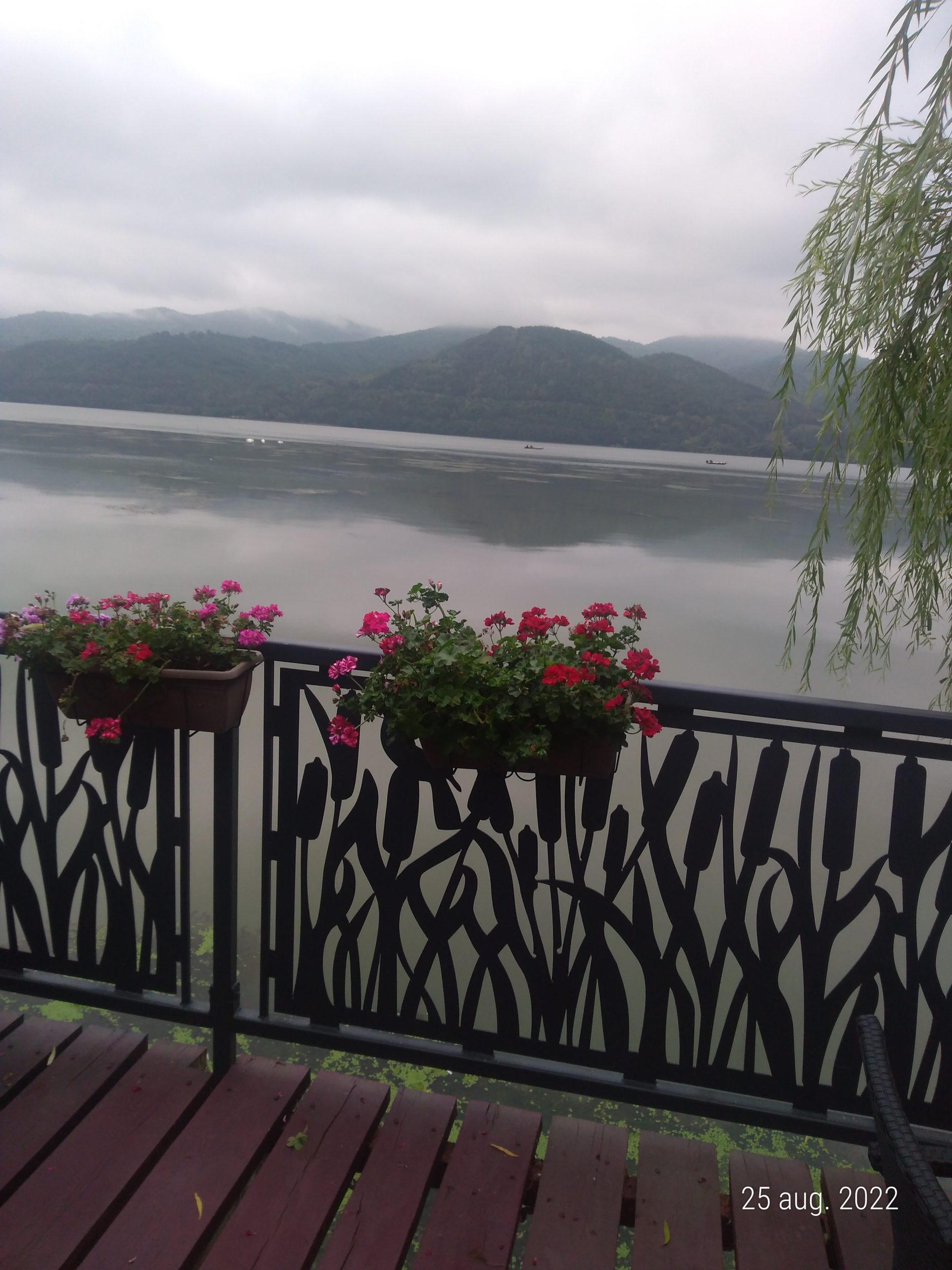
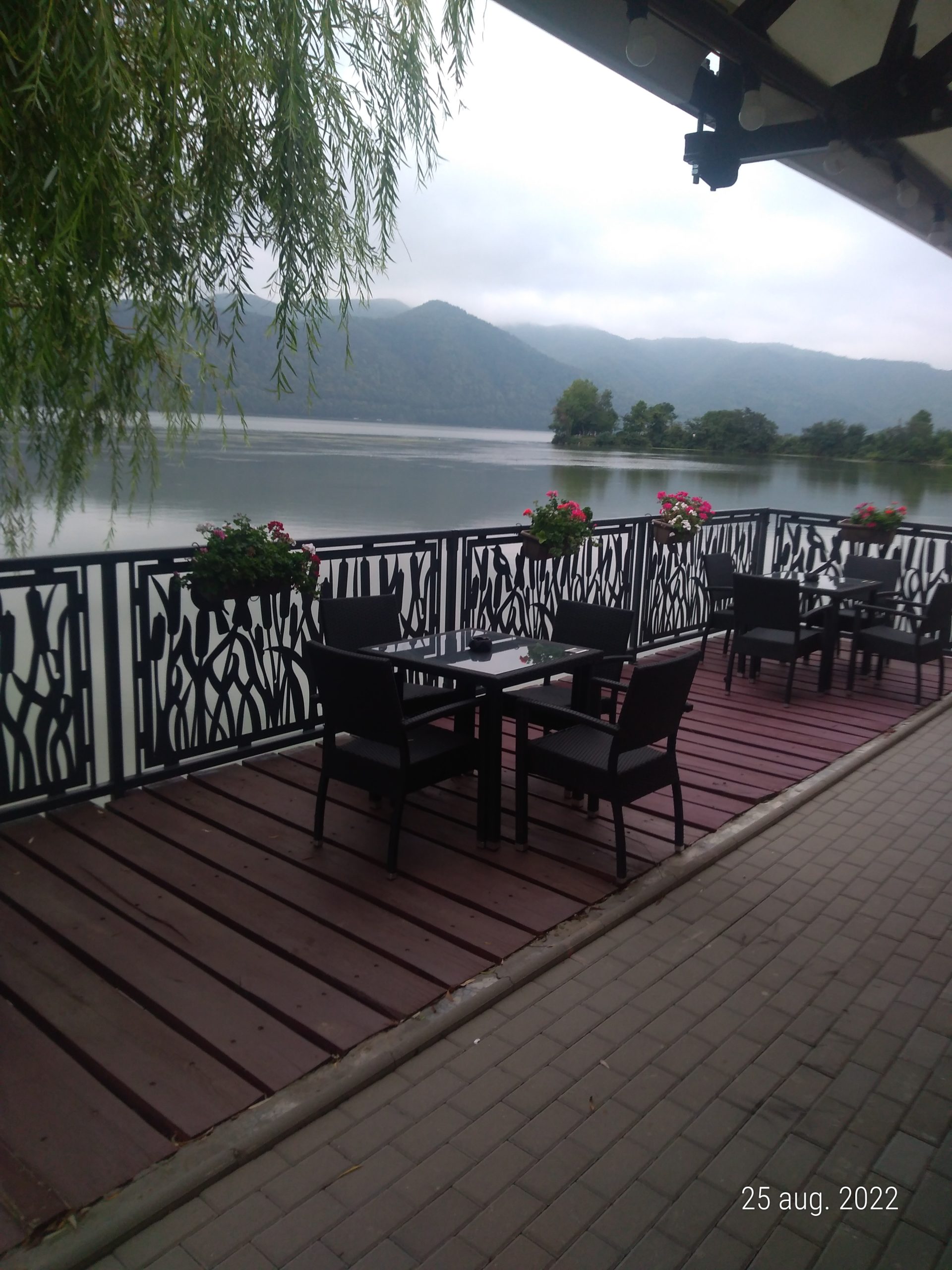
The desire to be close to the water meant that buildings were placed on the shore, limiting accessibility to the river. Most of the time, the banks have been developed for tourism through private initiatives and rarely, if ever, through public initiatives. The Danube has in some places become a watercourse with visibility and access blocked by private constructions - vacation homes or hostels - which cut off parts of the cliff for private purposes.

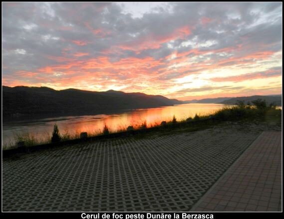
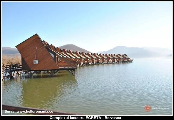
It has been a challenge to draw up urban plans for some of the towns along the Danube, given the natural and man-made resources. The General Urban Development Plan (P.U.G.) of Berzasca commune (approved in 2009) was a pilot project followed by the elaboration of the P.U.G. of Socol, Pojejena, Coronini and Sichevița communes. Berzasca Commune is crossed by the Danube on a length of approx. 13 km, out of a total of more than 65 km of the Danube's course in Caras-Severin County. The Berzasca commune's G.U.P. has considered the Danube as the main element of the economic and social development that could make the transition from the commune's economy based in the past on mining, fishing and agriculture, to an economy that includes tourism among the important income-generating activities.
With the proposals contained in the general urban development plans, we have tried to maximize the use of the Danube banks for public use by creating pedestrian and bicycle paths that allow direct access to the water and the spectacle it offers: vegetation, birds, commercial or leisure boats, etc. The urban development regulations of the municipalities contain regulations for the setback of buildings from the waterfront and proposals for the creation of a pedestrian promenade on the waterfront or above the water where the bank is steep or too narrow.
In Caras-Severin County local authorities are aware of the landscape value of the river and the importance of public use of the riverbank and the proposals in the planning regulations to remove the possibility of a wall of lesser buildings blocking access to the Danube are supported by local authorities. The Danube embankment could become a line of force, with lakeside dwellings, small piers, marinas, viewpoints, etc. New constructions by local residents or tourist facilities could thus be placed in the depths, replacing some houses in the existing urban fabric while preserving it, or on higher ground around the settlements, thus providing a much wider opening for admiring the water, with the possibility of walking along the waterfront and maintaining access to future marinas or piers. In some places where local people's gardens are facing the Danube or the width of the gorge does not allow the realization of a pedestrian promenade on the waterfront, we have proposed the construction of pedestrian paths with bicycle lanes on the water about 20-30 m from the back of local people's gardens, at a certain height, allowing boats to leave the local people's gardens.
The public route on the Danube bank could become a tourist site in itself, a tourist axis for sustainable development of the localities, and the Danube will be integrated territorially as a common resource for development.