Composition argument
Strategies of dialog
NEIGHBOR TO THE NORTH... ARAD. About him and his relationship with Timișoara
When I was asked to write about Arad in the issue of Arhitectura magazine dedicated to Banat, I thought that it was a normal, even reparatory gesture. All too often the Arad area is only transitory; and from north to south (between Crișana and Banat) and from east to west (to and from the border). Then, the people of Arad do not forget the period of subordination to Timișoara, from the times of the former Banat region. Wishing Arad to have a special issue dedicated to it, I will try, through a double view (from the inside and from the outside, as befits a person who perceives and evaluates it in this double capacity, oscillating weekly between the two cities), to make it aware of some of its current realities and to reveal its relationship with Timișoara. In this regard, I will only consider the role of the school of architecture and the dual employment of some of the construction professionals, mainly architects. Obviously, between Arad and Timișoara. In order to locate in space and understand some of the current phenomena, I believe it is necessary to look at them from a historical perspective, both early and recent.
Very briefhistory1
Early acts of the Hungarian royal chancellery attest Arad (Orod, Novak, Wrodi) as an important center of the area, where a Hungarian diet (1141) was held, with a royal castle (1177), seat of the County (mentioned in 1214), of the Prepository and Chapter (documented in 1156).
In the evolution of the zonal habitat, Arad almost certainly has two sites. The first is early (12th-16th centuries), in present-day Glogovăț (Vladimirescu); the second, following chronologically, is displaced to the present site, occupied uninterruptedly at least since the 16th century. This reality is not very clear and certain. Some historians place Medieval Arad (Orod-Novak-Wrodi) on the site of the present town, while others place it upstream, on the Mures Valley, at Vladimirescu (Glogovăț), where the remains of a 10th-11th century earth fortification (thought to be the County Citadel) have been discovered and where the ruins of a large 13th century Romanesque basilica (probably the church of the Prepozitură-Capitlu complex) are preserved. For several years, weighing the arguments and doing some research of my own, I have adhered to the latter formula.
Arad (Orod) is attested in 1329. In the act of 1388 it is described as having three parts: the Capitlul and the Prepozitura, the city proper and the area inhabited by Romanians. After 1551, when it was occupied by the Ottoman Empire, the data are more numerous and it is certain that they refer to the present location, there being, on the other hand, no clue as to its relocation and the reasons for it.
In the second half of the 17th century, the town is described by Evlia Celebi and appears in a schematic plan, dominated by the fortress, which will be found in the early 18th century, in the first Austrian plans (especially that of 1707) and especially in those of the middle of the century (1753, 1755, 1765). At that time the fortress, located in a loop of the Mures, had Italian-type artillery bastions and the settlement surrounded it on three sides. In those plans, one can already see the tendency to expand northwards, along the Mureș, through a large "lenticular" square, which would eventually measure approx. 1,500 meters long. Between 1762-1783, the new Austrian fortress was built in a loop of the Mures, in parallel with the demolition of the old one. After the danger of the town (which was in the protection zone of the fortress) had passed, in the last part of the 18th century and in the following century, Arad developed impetuously, its area expanding to the north, west and east, including the annexation of settlements that were originally independent.
The street structure of the historic center (the southern part, towards Mures) preserves for the most part the late medieval and 17th-18th century routes. Important pieces of architecture are exclusively from the 18th-20th centuries.
Urbanistically speaking, Arad is structured mainly N-S by the long lenticulated square (Revolution Boulevard), extended beyond the Mureș, in Aradul Nou, by Calea Timișoarai-Banatului, also a lenticulated square. Besides them, other important squares are: Avram Iancu, Mihai Viteazul, Catedralei, Reconcilierii, designed to accommodate mainly commercial activities. In addition to the street network from the 17th-19th centuries, the historic center contains numerous buildings erected in the latter part of that period (extending into the first half of the 20th century), in various styles: Baroque, Neoclassical, Neogotic, Eclectic, Art-Nouveau-Session, Neo-Romanesque, Modern.
There are also archaeological sites, the most precisely localized being the "Old Citadel" and the urban area from the 17th-18th centuries (visible on 18th century plans).
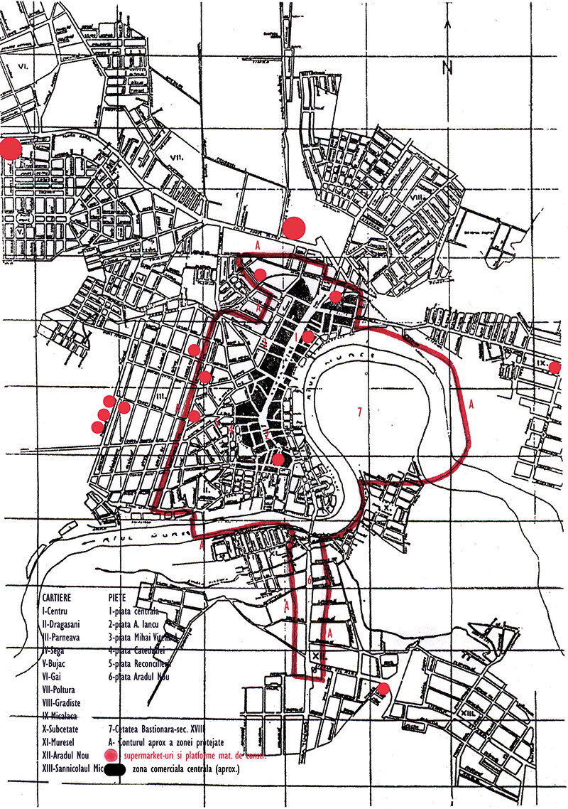
The protection of these values is concentrated in the area of the central axis Arad-Aradul Nou, with significant extensions to the west and east (articulates the area of protection of the fortress), an area classified as a protected urban ensemble (LMI code AR-II-a-B-00477) and having an approximate surface of 500 ha. The PUZCP, which is currently being finalized by "Arad Project" (project leader: architect Dana Popescu), proposes, in addition to an extension of the protected area (about 600 ha), detailed regulations for each type of urban morphology2.
Read the full text in issue 1/2013 of Arhitectura magazine - Special issue Timisoara

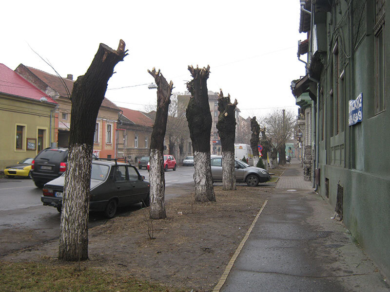
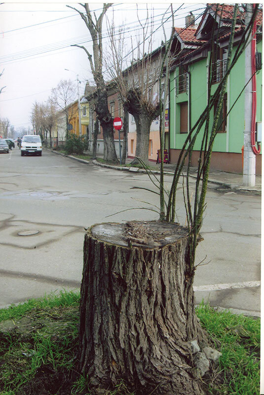
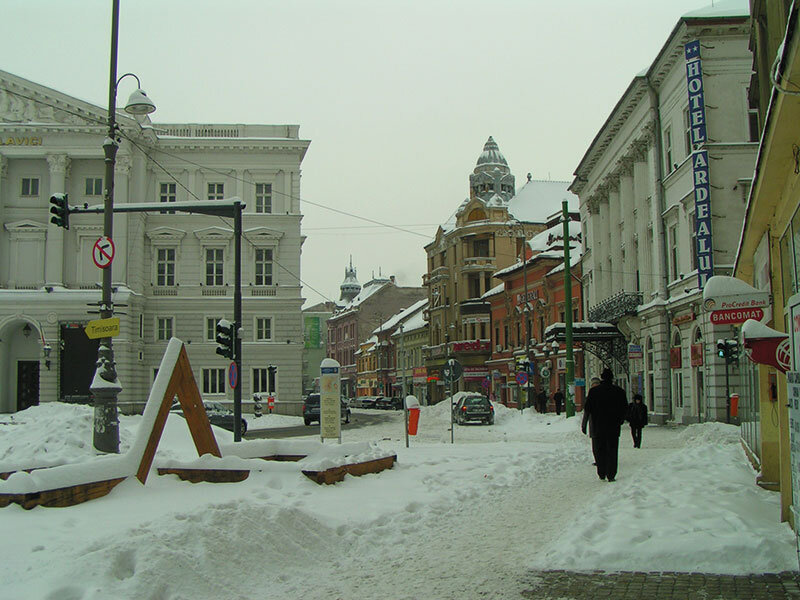
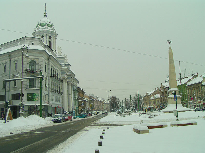
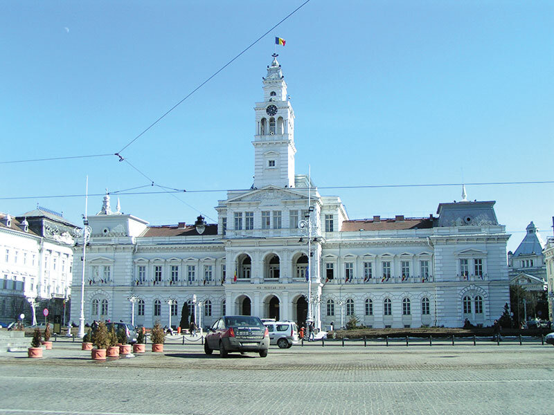
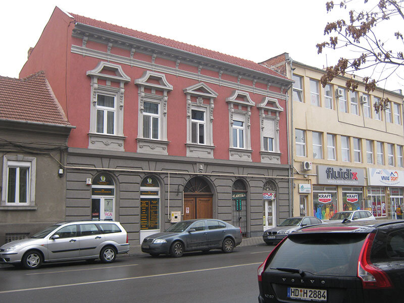
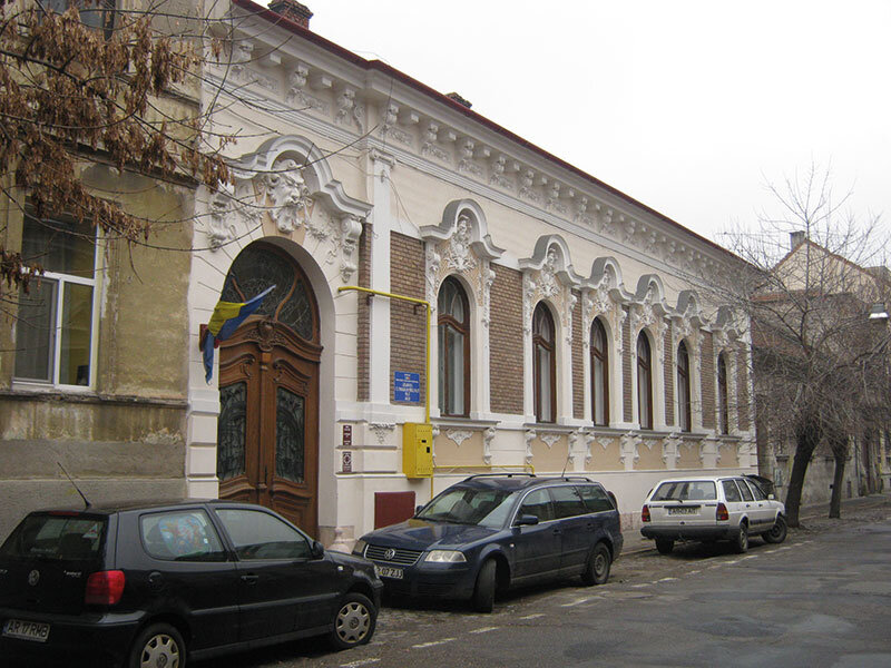
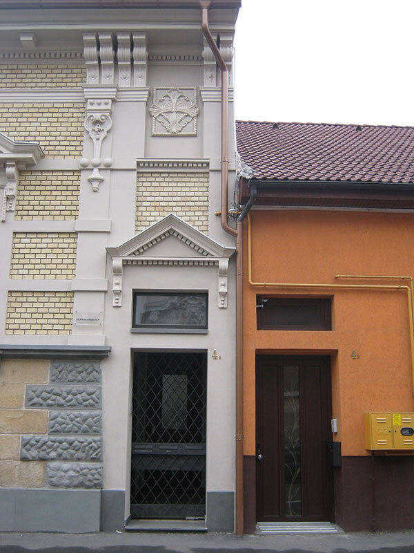

Photo credits:
2, 3, 5: Bujor Buda
rest of photos: Angela and Teodor Octavian Gheorghiu
Notes:
1. This brief history is extracted, with some modifications, from my article Arad - heritage values between protection and destruction, "Transsylvania Nostra", 2/2010, with the related bibliography.
2. For details, see Elisabeta Cosma, Dana Cornelia Popescu, Preocupări planului urbanistic pentru zona construită protejată din Municipiul Arad, "Transsylvania Nostra", 2/2012.
Argument on Topic: Spring in Timisoara
Architecture in Western Romania, between promises and certainties
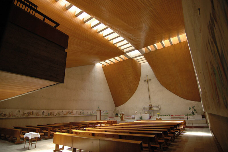
Hans Fackelmann 1933 - 1979
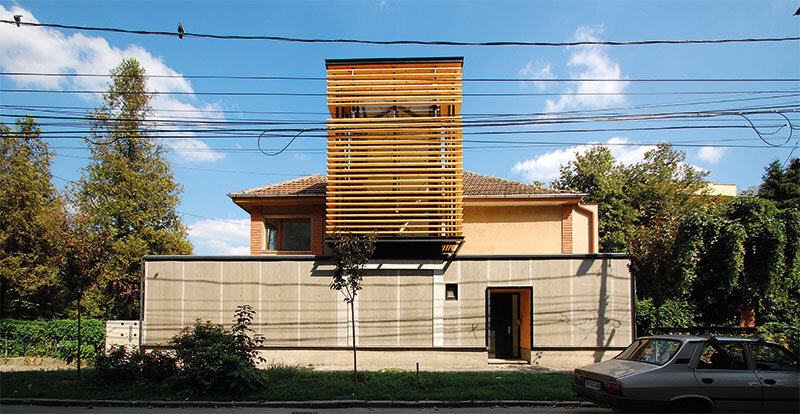
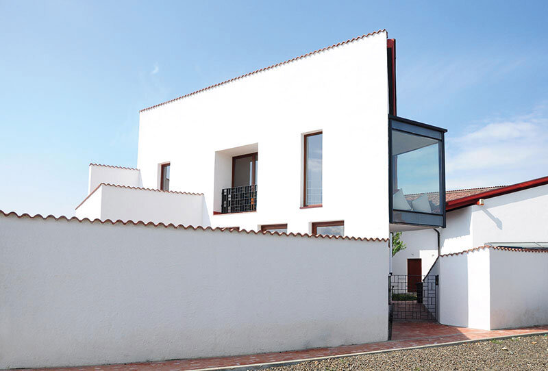
Tudosie House
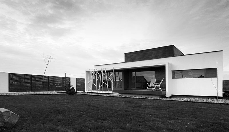
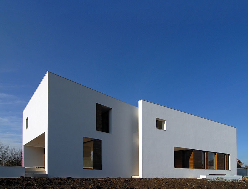
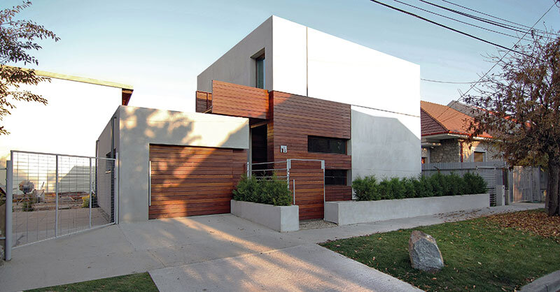
House B2
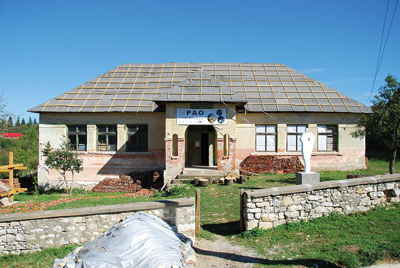
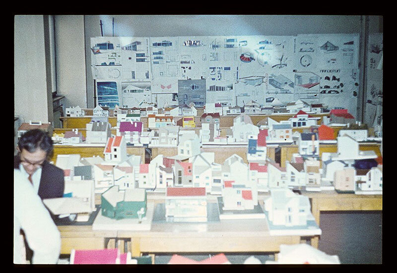
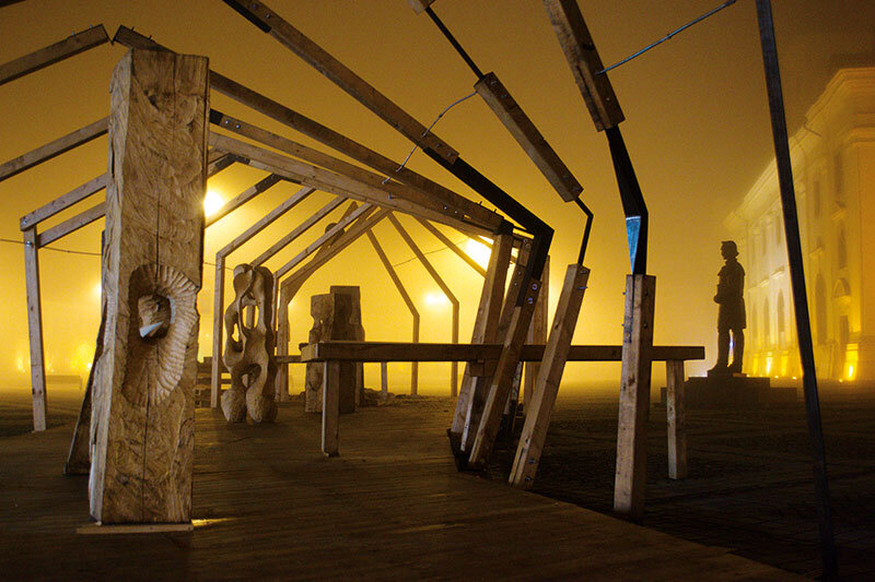
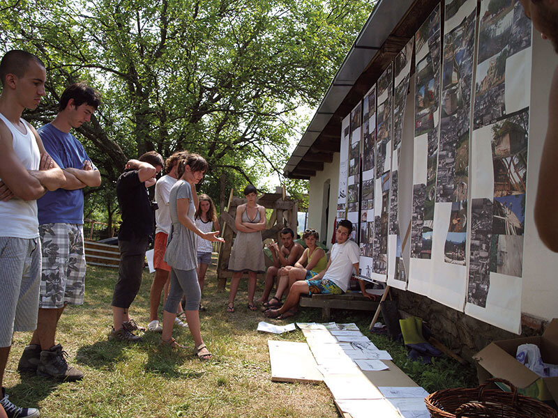
Building for the community. PAO experimental architecture summer schools
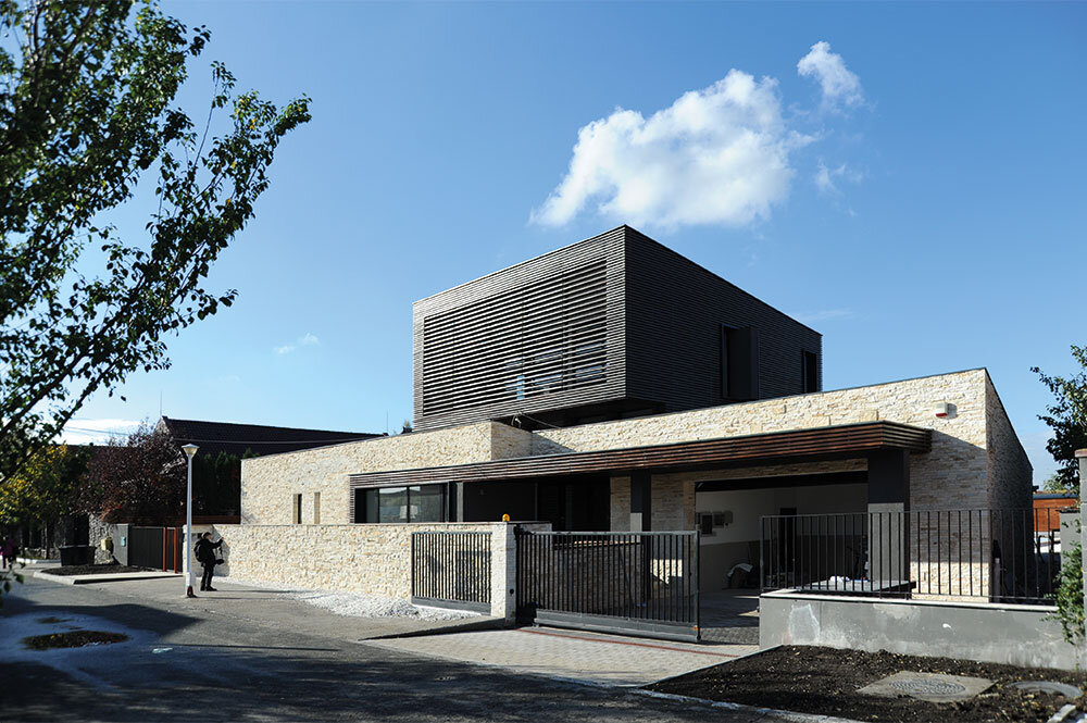
Balarie House
The architect's community versus the community architect
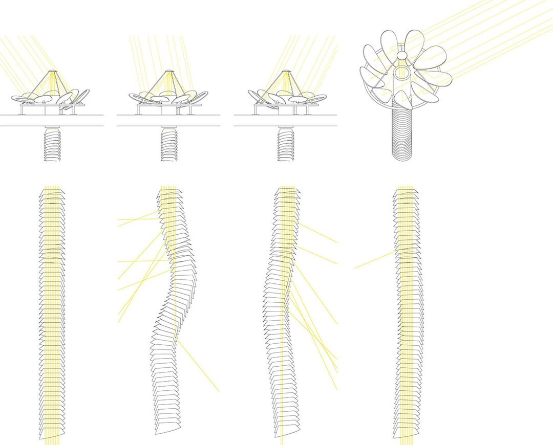
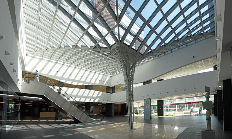
"Interactive daylight source
Gray neighborhoods
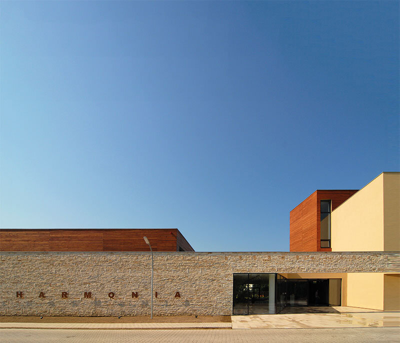
Harmonia House
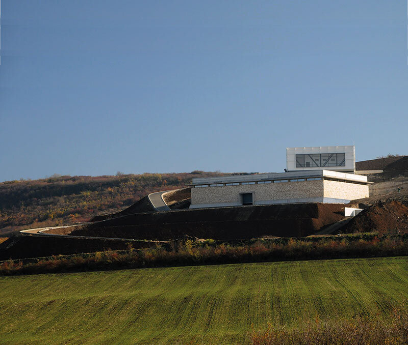
Pâncota Wine Cellar
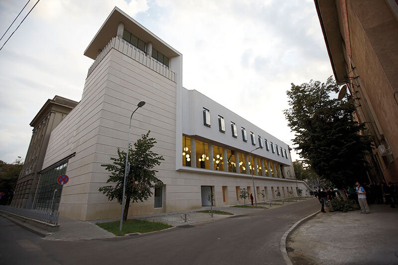
Timis County Council
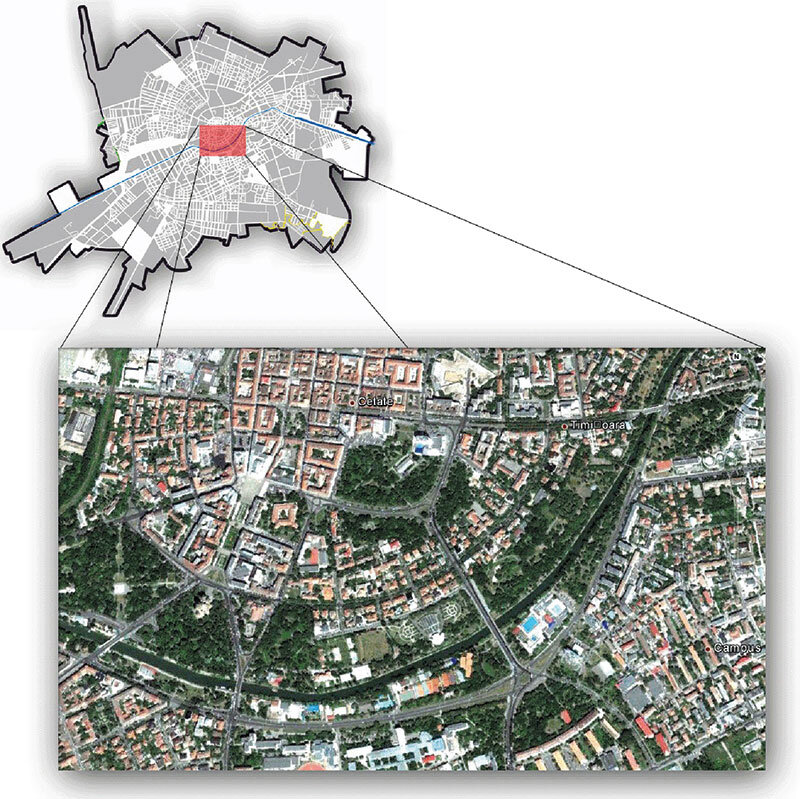
Densification and de-densification in Timisoara
700 - Gateway to the center
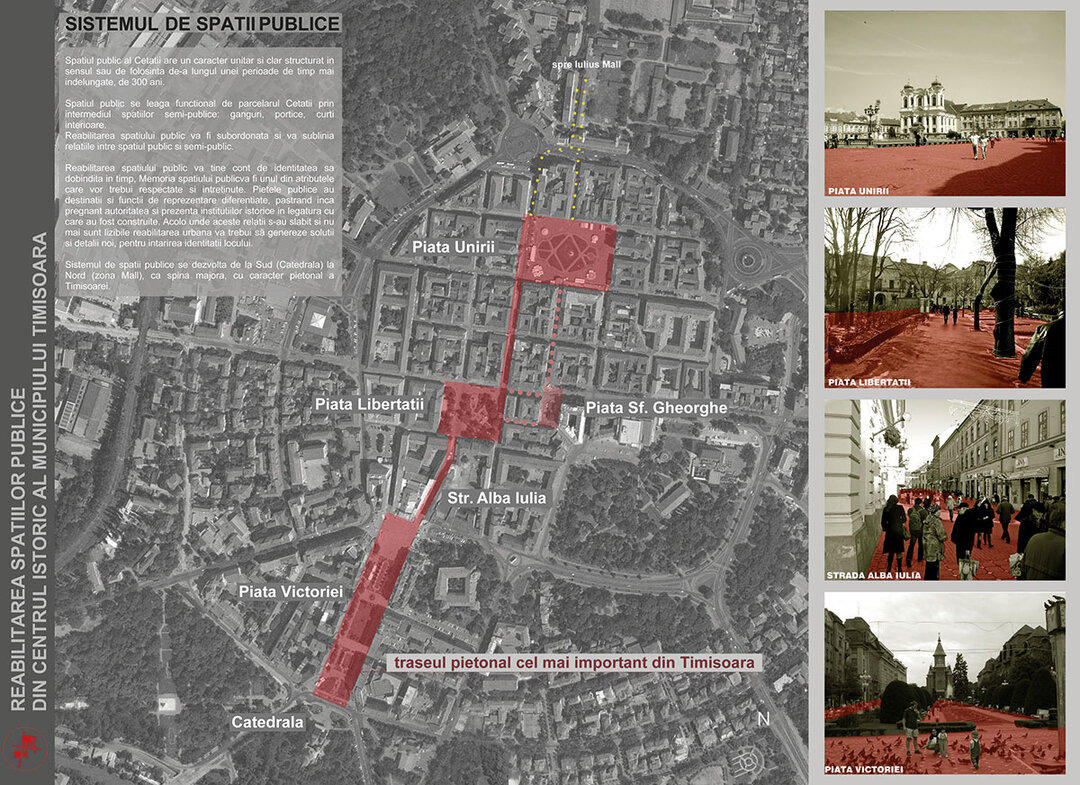
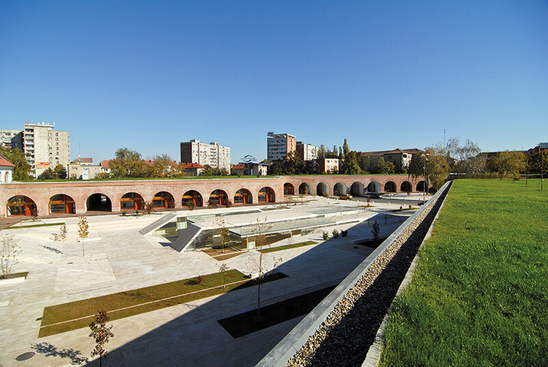
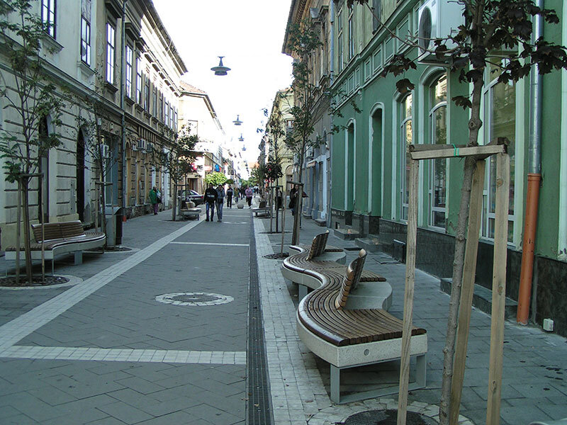
Rehabilitation of public spaces in the historic center of Timișoara
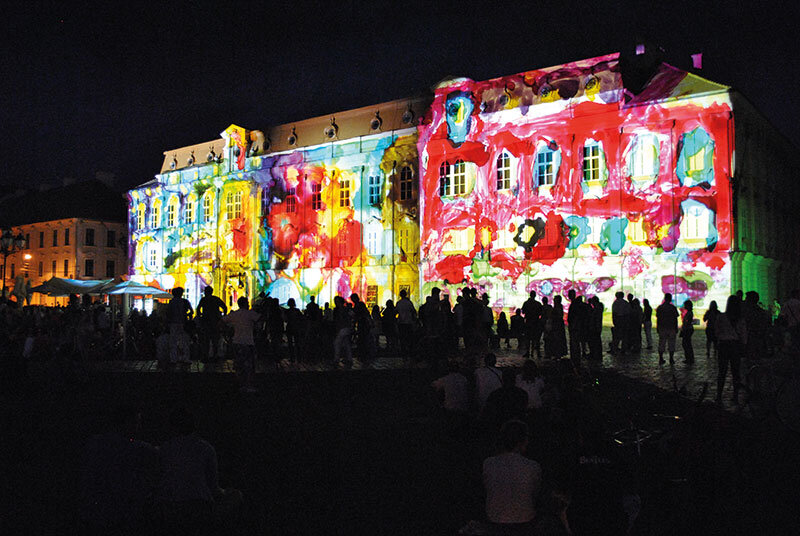
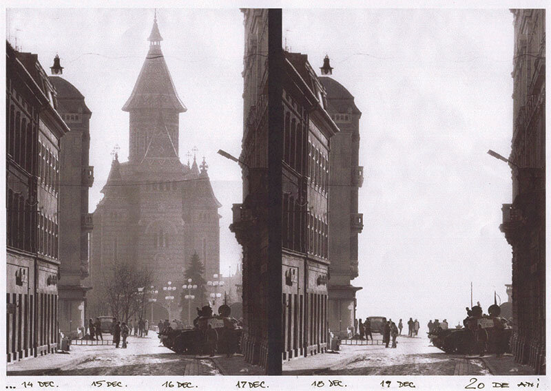
Urban Stamp: Architecture in light and color
Timisoara - Photo reportage
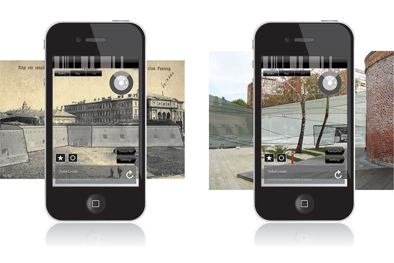
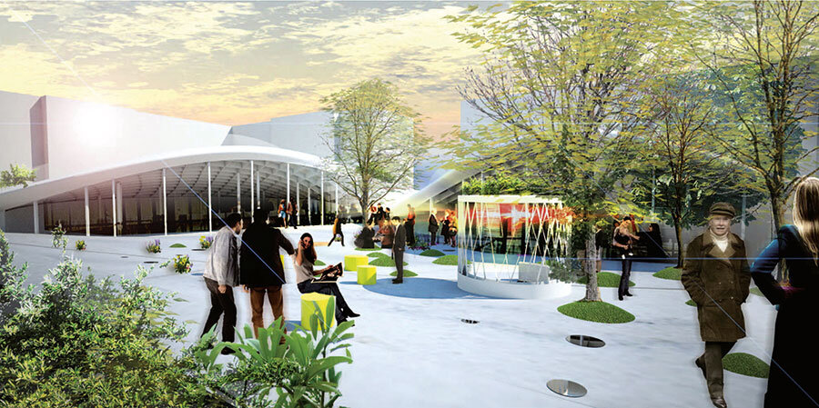
Public Space 2.0 - Experiments in virtual spaces in architecture
Theresia Bastion, a cultural mall?
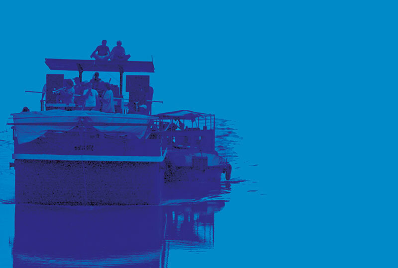
Barja - Architecture of a public space along the Bega Canal
Café Atelier
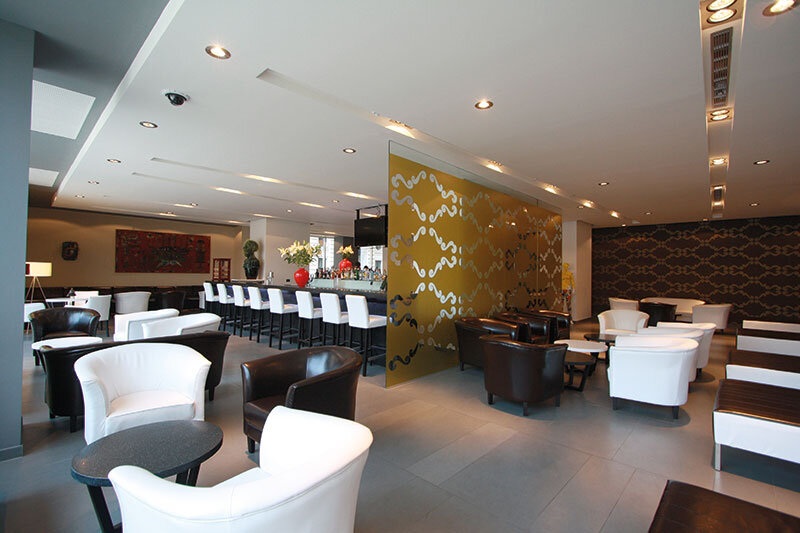
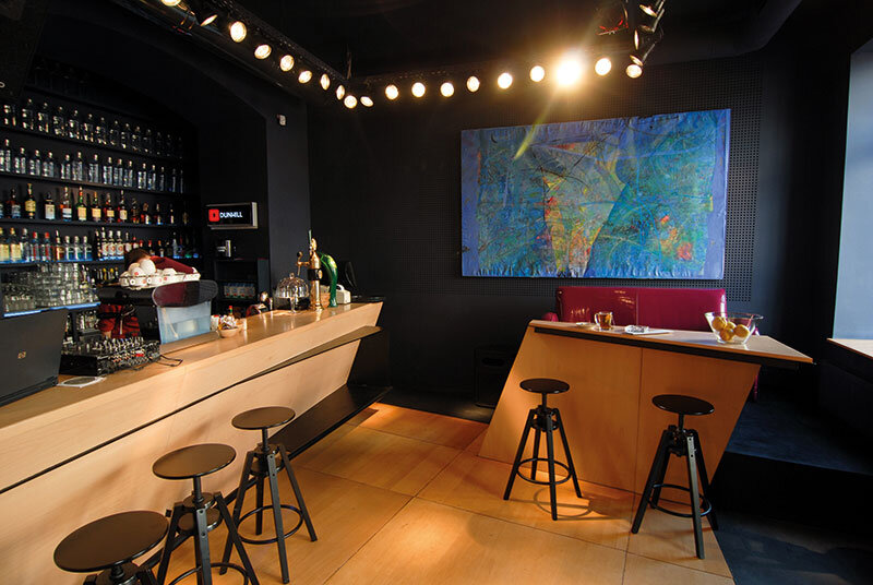
Timișoara Hotel Rehabilitation
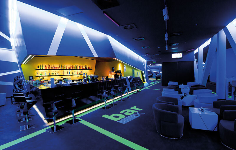
Black Box
reCULT
Sky Hill Projekt - 7 years

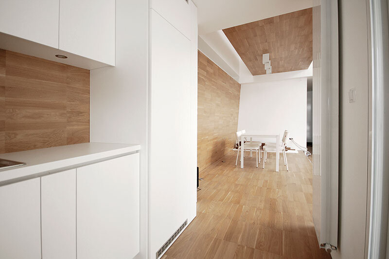
MK House
OV
Lara House
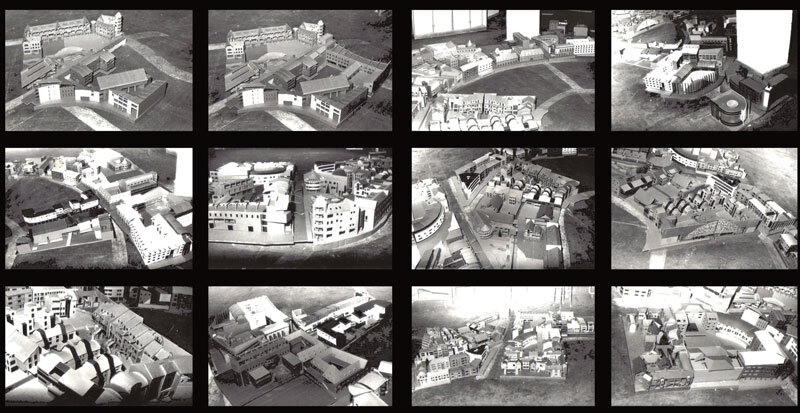
Urban Manifest 2009
Octogon
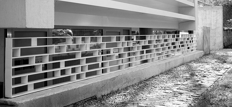
GMC House
White Dream
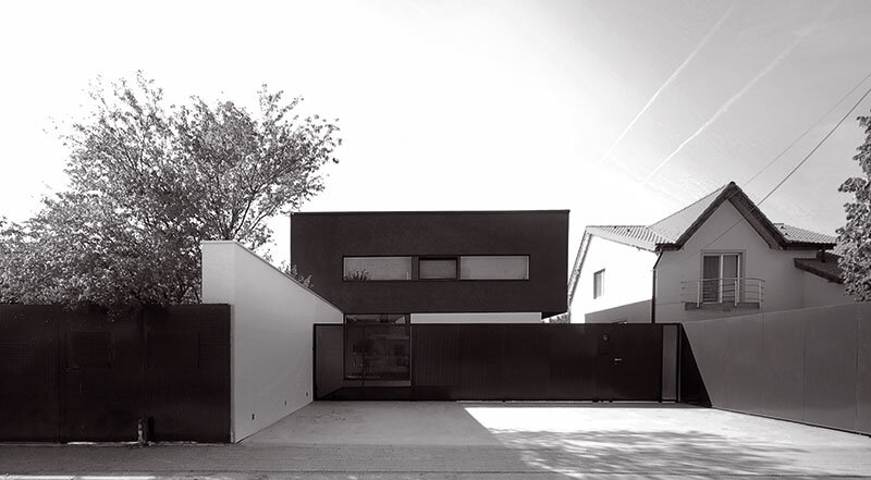
Black on White House
NEIGHBOR TO THE NORTH... ARAD. About him and his relationship with Timișoara
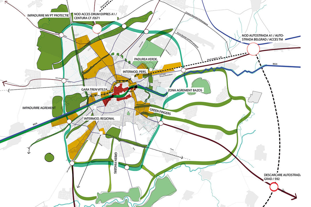
Timișoara PUG Strategies