Landscape
Thematic articles
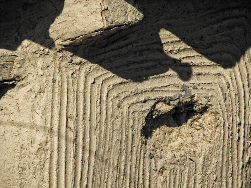
Landscape identification and assessment methodology

On July 23, 2002, Law No 451 of July 8, 2002 for the ratification of the European Landscape Convention, adopted in Florence on October 20, 2000, was published in the Official Gazette of Romania. With this action, Romania committed itself to "harmonize the implementation" of the Convention "through its own policies and without derogations from its provisions". The commitment involves the legal recognition of landscape, the establishment and implementation of "policies aimed at its protection, management and planning", the establishment of participatory procedures for the public, regional and local authorities and the "integration of landscape" into spatial planning, urban planning and cultural, environmental, agricultural, social and economic policies.
While "raising the awareness of civil society", educating and informing, Romania commits itself to "identify landscapes throughout its territory", "analyze their characteristics, as well as their dynamics and disturbing factors", "monitor their transformations", then "evaluate the landscapes thus identified, taking into account the particular values attributed to them by the stakeholders and the population concerned" and "define landscape quality objectives for the landscapes identified and evaluated", following public consultation processes.
In the 11 years and one month since the ratification of the Convention, no legislative or methodological measures have been adopted in Romania that correspond to the state's landscape commitments, although MTCT (later MDLPL, MDRT, today MDRAP) has tried to address this issue. Six years ago, in September 2007, the Sixth Meeting of the Council of Europe Workshops for the implementation of the European Landscape Conventiontook place in Sibiu, a highly professional event organized on behalf of MTCT by Cristina Herția, responsible for the implementation of the European Landscape Convention in Romania1. The meeting took place at the Astra Museum in Dumbrava; the participants visited Sibiu, the Marginimea and the Bordușanii.
What was the Council of Europe doing in Bordușani?
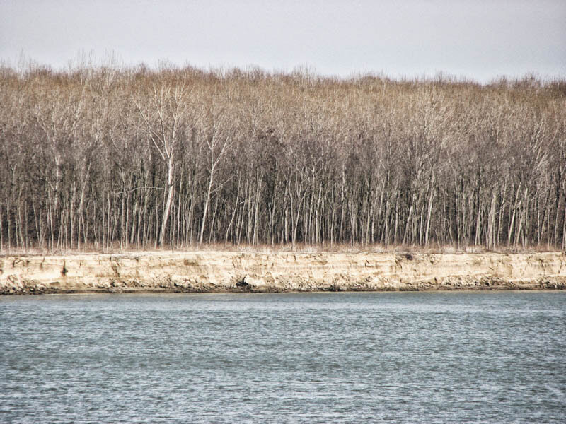
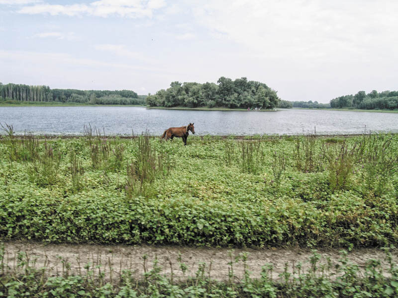
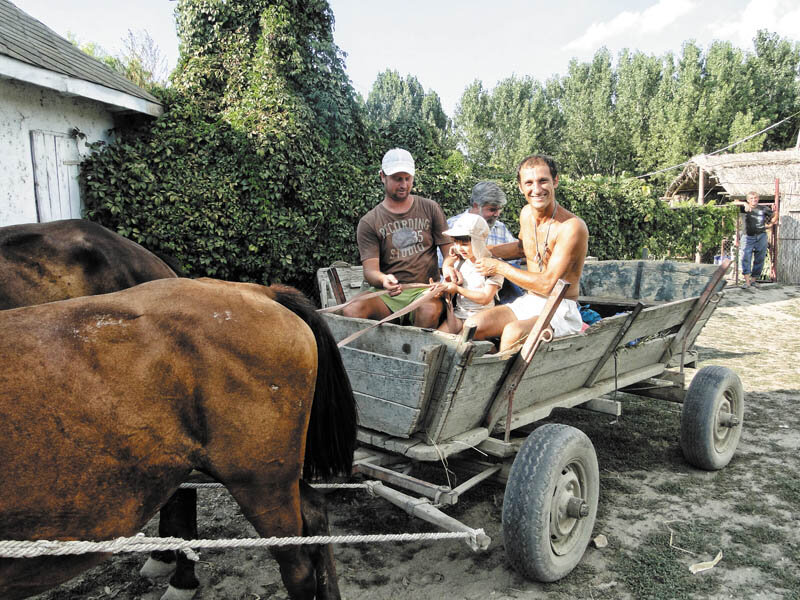
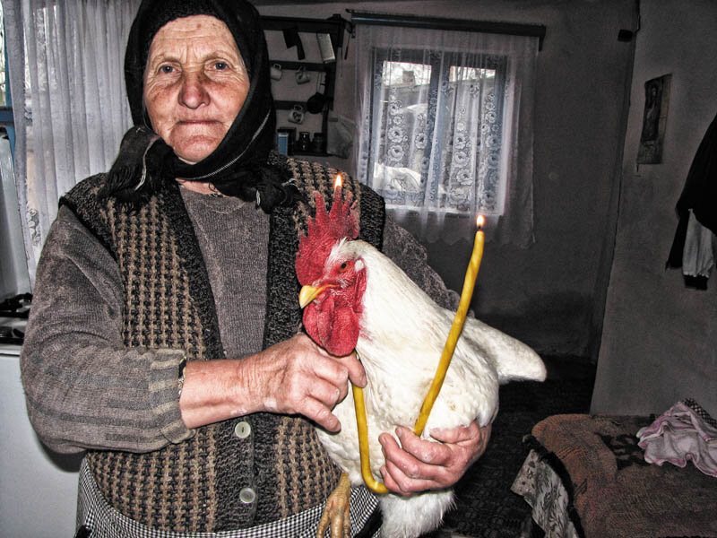
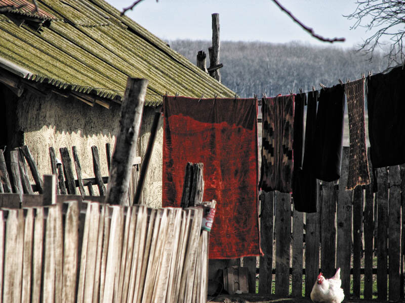
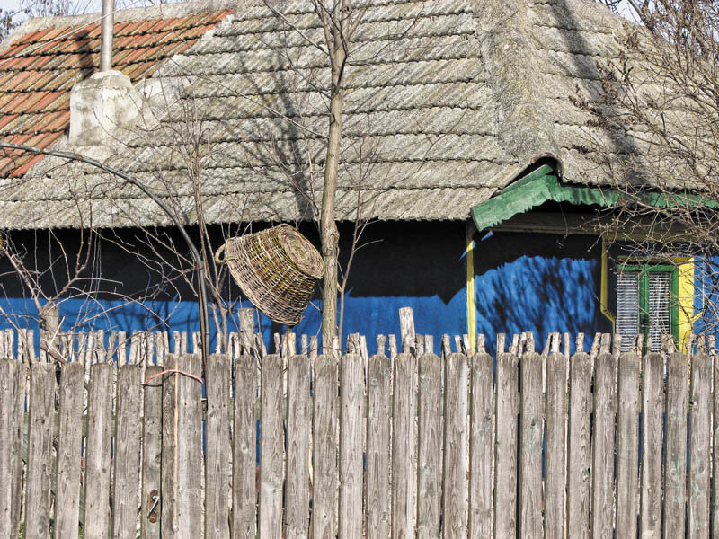
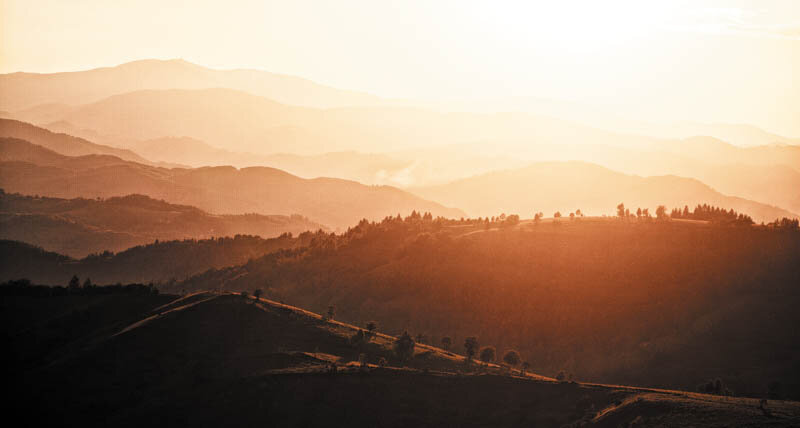
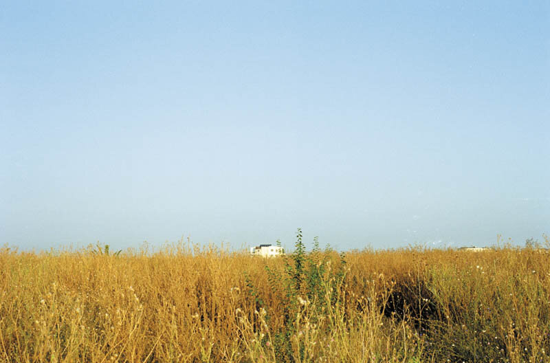
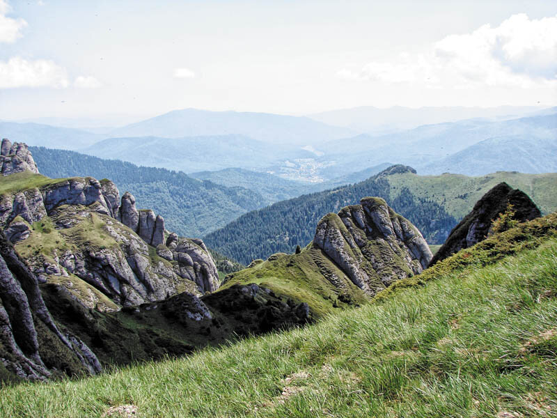
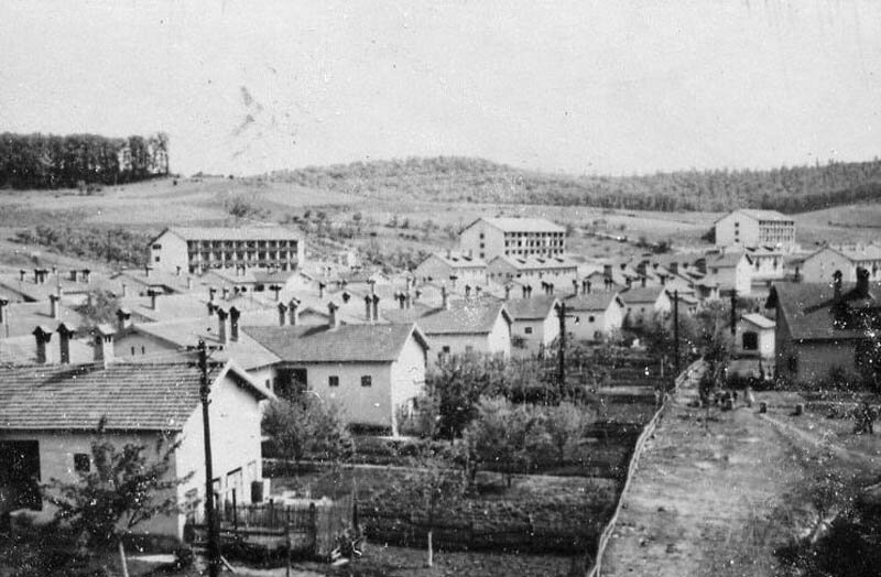
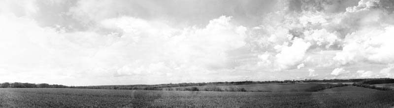
In the same year 2007, the ministry had initiated the elaboration of the Methodology for landscape identification and assessment, based on the pilot study of the "Bordușani natural and built area of national interest"2. Bordușani is a village in Ialomita County, located on the Borcea bank. The commune's territory also includes part of the Balti Ialomița - the floodplain between the Borcea Arm and the Old Danube3 -, one of the last places on the lower course of the Danube that has remained less altered by the changes of the last half-century4 and, above all, avoided by the hydro-technical works of the 1960-1970s.
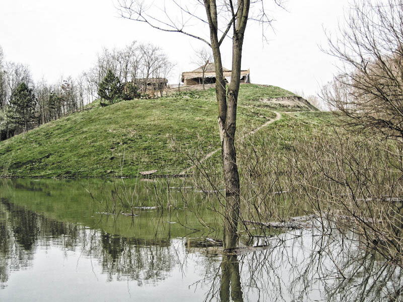
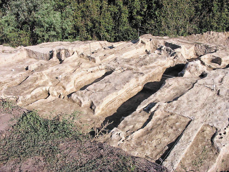
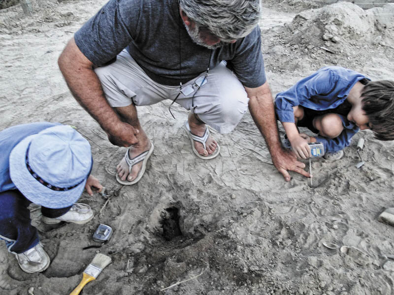
On a mound known as Popina Bordușani is one of the 10 archaeological sites of priority interest in Romania. Discovered in the early years of the 20th century as archaeological site 5, it was periegetically investigated in the interwar period and in the 1960-1980s. Systematic research was initiated after 1980 by a team led by S. Marinescu-Bîlcu (which included Gh. Trohani and Gh. Matei6. The most intense periods of habitation discovered here are the Eneolithic (Boian and Gumelnița cultures, 5th millennium BC) and the Iron Age, respectively La Tène.
Popina has been systematically researched for over 30 years; for 15 years it has been the subject of multidisciplinary research under the coordination of the National Museum of Romanian History (Dr. Dragomir Popovici, who joined the team in 1987). At Bordușani we find, perhaps, the only site in Romania where - thanks to the results of the research - a pertinent diagnosis can be made of the evolution of the environment and of the relations between communities and territory (and therefore of the cultural values that the environment may bear), over such a wide interval.
Thus, the Bordușani commune, at first sight lacking in prestigious natural and cultural features, integrates cultural values of great diversity, whose scientific importance goes far beyond the territory in question; for this reason, it was the most solid basis for the elaboration of the Methodology for the identification and evaluation of the landscape. The situation at Bordușani sheds light on the relationship between knowledge and cultural value: the territory is ennobled through decryption and, implicitly, rememoration. The perception of the territory changes, creating another landscape (and this time the term is used in its proper sense of cultural reconstruction ).
Read the full text in Arhitectura 5/2013
PHOTO:
IrinaPopescu-Criveanu
Ioana Popescu
Dragomir Popovici


1 Landscape and rural heritage. Sixth meeting of the Council of Europe Workshops for the implementation of the European Landscape Convention, Sibiu, Romania, September 20-21, 2007, Proceedings (European Spatial Planning and Landscape,No. 88), Council of Europe Publishing, 2009. http://www.coe.int/t/dg4/cultureheritage/heritage/landscape/Publications/ATEP-88_bil.pdfhttp://www.coe.int/t/dg4/cultureheritage/heritage/landscape/Publications/ATEP-88_bil.pdf
2 Quattro Design, National Museum of Romanian History, Point Zero, Landscape identification and assessment methodology. Pilot study: natural and built area of national interest Bordușani, 2007-2008, beneficiary: MTCT/MDLPL. See also Irina Popescu-Criveanu (coord.), Bordușani - âge, usage, visage, paysage, Târgoviște: Editura Cetatea de Scaun, 2007, publication produced by MTCT for the Sibiu meeting (from which parts of the present article are excerpted).
3 In the pond, the ostroves have an ever-changing contour; the steep banks (potmoluri) are those towards the "chisc"; the tail is a sandy "renie". The one-year-old renia is bare; the one a year older has grass; the three-year-old has willow shoots, and so on, "until we come to the old willow forest". The lakes, ponds, benthes, estuaries, and privaludes have a surface area that depends on the level of the Danube. The water bodies are joined by gorges and privalges, with an outlet to the Old Danube or Borcea. The deep lakes that are covered by plaga (shellfish) are called "benturi". Plaga = surface plant cover. Grinduri are high, generally floodable places (the Grindul Cegii, which follows the Cega prival and starts from the Bentul Ceganilor, is never flooded) and almost always have traces of human settlements. Popinele (or grădiștile) are the remains of the old Danube terraces, witnesses of the submergence of the Lower Danube region. Popina Bordușani, also known as Pochina, is a 27.3 m high "round mound", the remains of a terrace older than the lower terrace at Bordușani (22-23 m). The "Pomostele" are earth mounds for cattle or beehives, erected by people (about 11 m high). According to V. Morței, "Balta Ialomiței. Contribuțiuni la cunoașterea parte de nord a ei", in Analele Dobrogei. Revista Societății Culturale Dobrogene, Anul V and VI, 1924 and 1925, p. 59 sq. in fact, "popina" designates two telluri: the large tell (tell I), with a height today of 15.40 m and an oval shape with diameters at the base of approx. 150 x 80 m, and the small tell (tell II), situated to the south of the first, also oval, with a base diameter of approx. 50 x 30 m and approx. 8-9 m high, between which there is a saddle, partially affected by the access road to the first tell - where a forestry canton had been built.
4 In the preserved floodplain, Canada poplar plantations have replaced the old forest, of which small areas are still preserved.
5 In Pochină "many jars and pots were found, which were picked up and sent to Bucharest by the current director of the normal school in Calarasi - Mr. Petre Popescu - when he was a student at the Faculty of Letters, geography department". V. Morței, op. cit.
6 Dragomir Nicolae Popopovici, "Situl arheologic Popina Bordușani", in Studiu arheologic(Metodologie..., Faza II, 2007, Cap. 2.1.)
Cultural landscape threatened Roșia Montană
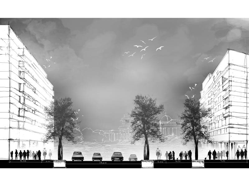
From the city to the edge
Landscape - a face of the world
Urban nature transition
Unloved Bucharest, landscape... or not... (?)
Landscape identification and assessment methodology
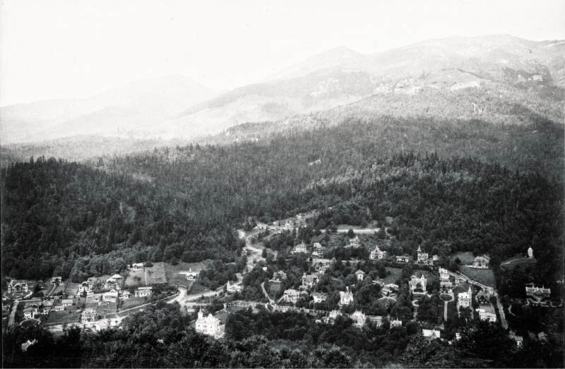
"Landscape as an archive": the history of the structuring of the Sinaia countryside
John Ruskin: landscape and democracy
Three landscape features in dialog with architecture
Building and deconstructing the local dimension
Cezar Lăzărescu, the story of an architect
Architect Dimitrie Ionescu-Berechet in Câmpulung
Entzauberung and re-Zauberung
Architecture as landscape
The holistic ambiguity of approaching the landscape
Creolizing the landscape
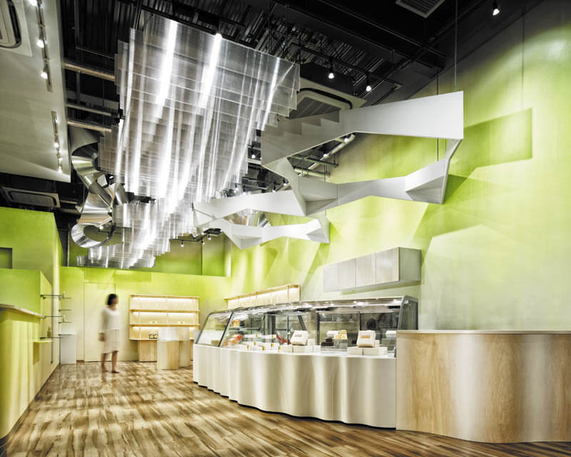
Dream dairy farm store
A Squared
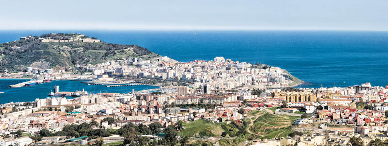
Fragments of Ceuta
Three USAMV landscape design projects