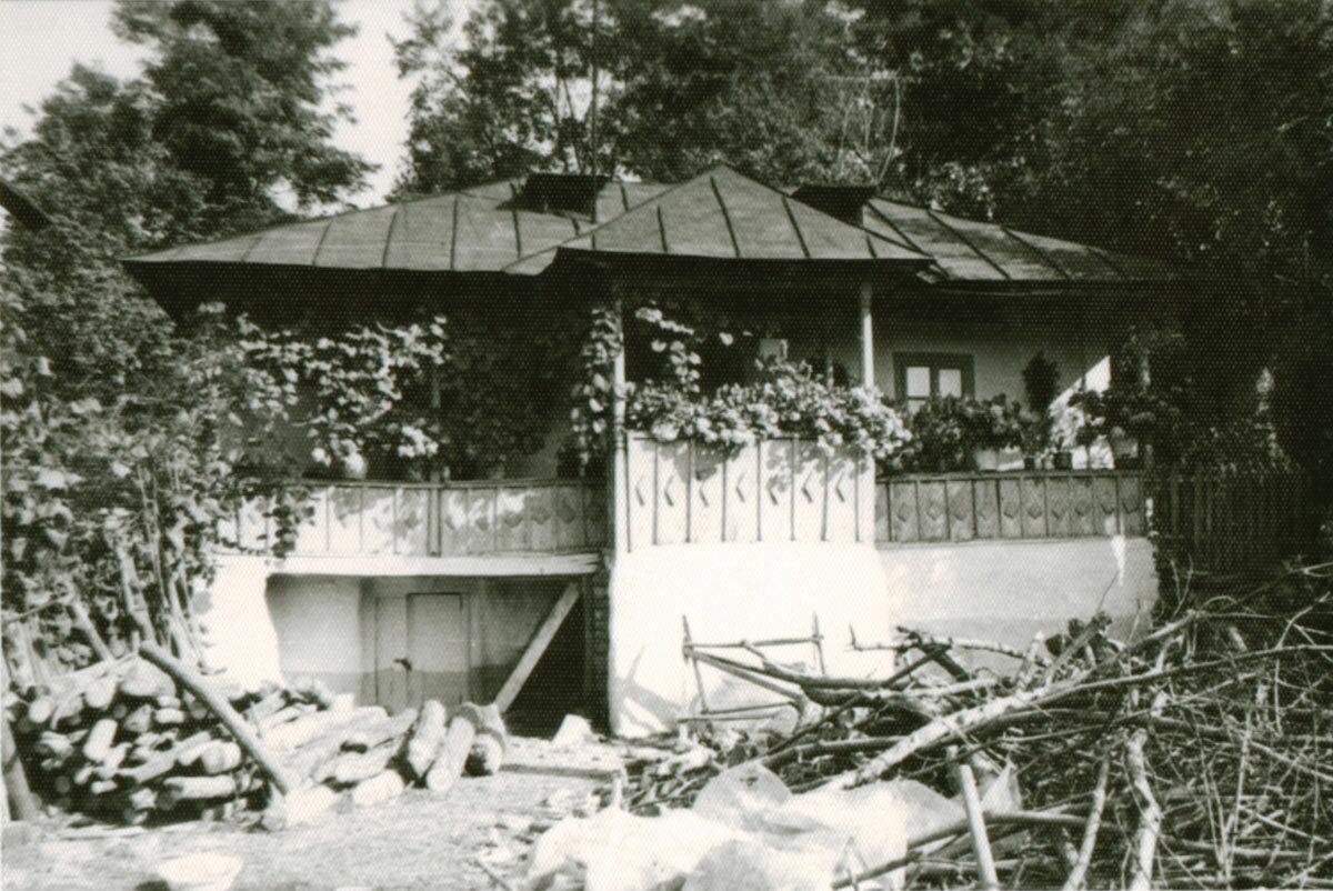
Habitatul rural din zona extracarpatică, un capitol încă neelucidat al istoriei noastre | The Rural Habitat in the Outer Carpathian Region, an Unsolved Mystery of Our History
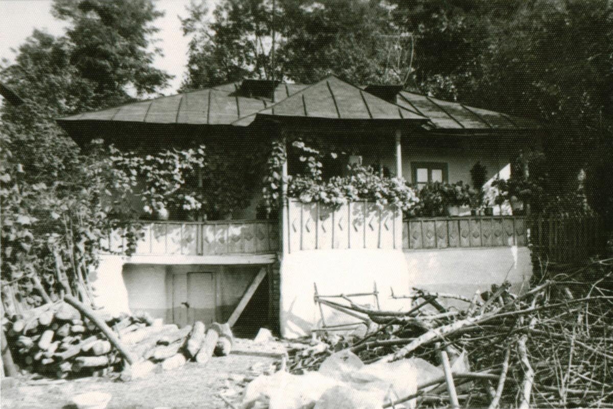
| Lucrarea de față își are originea în admirația nedisimulată a autorilor pentru valorile habitatului rural tradițional. Am cunoscut de timpuriu frumusețea așezărilor muscelene și, ulterior, a satelor din județul Prahova și din Bucovina.
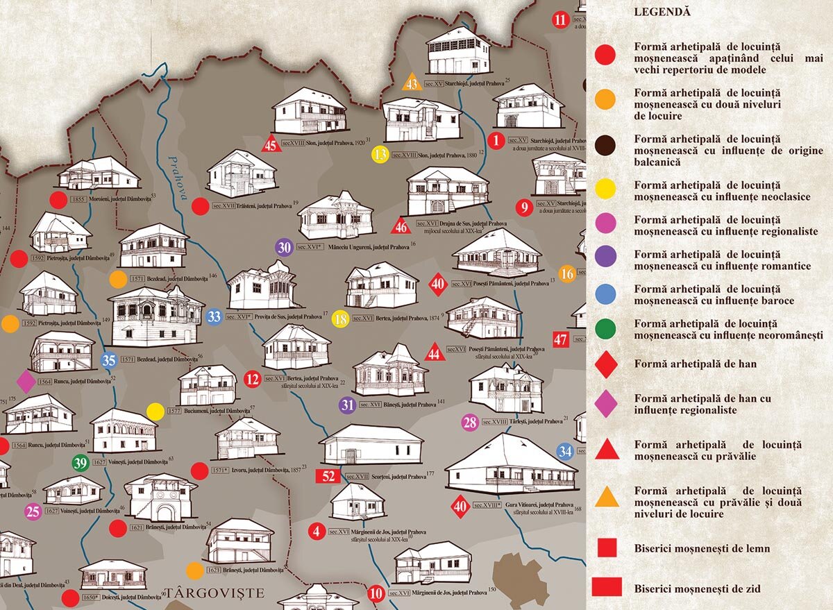
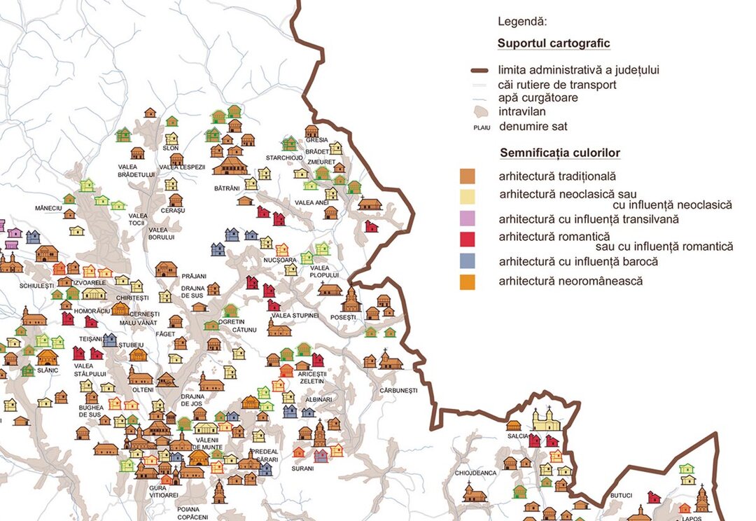
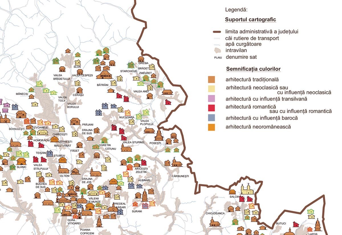
Am avut șansa unor profesori cu o vastă cultură și respect pentru tradiție la Facultatea de Arhitectură „Ion Mincu” din București, din rândul cărora se conturează cu limpezime profilul arhitectului Grigore Ionescu; din prelegerile acestuia am deslușit complexitatea proceselor subsumate fenomenului cristalizării habitatului din țara noastră de-a lungul veacurilor. Studiile efective privind arhitectura sătească le-am început în jurul anului 1978, prin editarea lucrării Locuința sătească din România (coordonator arh. Călin Hoinărescu), la realizarea căreia care am colaborat cu specialiști și colective interdisciplinare complexe. Lucrarea se prezintă ca o primă parte a unei suite de studii care își propun să abordeze componentele habitatului rural, pornind de la teritoriu și continuând cu celelalte programe prezente în teritoriu și în vetrele satelor noastre. Acest proiect nu s-a putut concretiza, pe de o parte, din cauza lipsei informațiilor [documentele de arhivă nu fuseseră cercetate, cu excepția celor publicate la data respectivă – colecțiile D.I.R. (Documente privind istoria României), D.R.H. (Documenta Romaniae Historica) etc.], iar, pe de altă parte, din cauza confuziei și incoerenței principiilor prin prisma cărora se abordau componente majore ale habitatului rural (configurația rețelei de localități, raportul dintre tipul de proprietate funciară și aspectul satelor și al teritoriului aferent, statutul social al țăranului în ipostaza de membru al obștilor autonome deținătoare de moșii etc.). A fost nevoie de aproape trei decenii pentru ca dificultățile semnalate mai sus să fie depășite prin studii de arhivă și de teren, dar și prin folosirea informațiilor istorice, sociale și statistice oferite de lucrările aferente domeniului studiat. Acest studiu a fost limitat la teritoriul județului Prahova, surprins prin harta redactată în 1904, pe care am folosit-o ca suport cartografic al lucrării; sfârșitul secolului al XIX-lea a fost, așadar, considerat drept limita superioară a intervalului de timp în care s-a înscris obiectul cercetării noastre. |
| Citiți textul integral în numărul 1 / 2015 al Revistei Arhitectura |
| This paper originates in the authors’ open admiration for the values of the traditional rural habitat. Very early on, I have become acquainted with the beauty of Muscel settlements and later of the villages in Prahova County and in Bucovina.At the “Ion Mincu” Faculty of Architecture in Bucharest, I had the chance to be guided by professors of vast culture and deep respect for the tradition. One particularly outstanding personality was architect Grigore Ionescu; his lectures helped me comprehend the complex processes which have led to the formation of our local habitat throughout the centuries.
I began effectively my studies on village architecture around 1978, while coordinating the editing of the paper Locuința sătească din România (The Village Dwelling in Romania), for which I collaborated with several specialists and complex interdisciplinary collectives. The paper was the first part of a series of studies aiming to approach the components of the rural habitat starting with the territory and followed by other programs carried out in the field and even in the heart of the villages. Eventually this project could not be materialized, firstly because of the lack of information (the archive documents had not been researched, except for those published on the relevant dates – D.I.R., D.R.H., etc.), and secondly, because of the confusing and incoherent principles underlying the major components of the rural habitat (the configuration of the network of localities, the relationship between the type of land property and the appearance of the villages and their related territory, the social status of the peasant as member of the autonomous collective land holdings, etc.). It took nearly three decades to surmount the above mentioned difficulties, through archive research and field studies and the use of historical, social and statistical information provided by the papers relating to the studied field. The study had a limited scope and covered only the territory of Prahova County as presented in a 1904 map, which we also used as the mapping support of our paper. Therefore, the end of the 19th century was considered to be the upper limit of the time period covered by our research. |
| Read the full text in the print magazine |
