Thematic Dossier-Industrial Archaeology
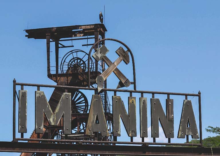
Mine of ideas Anina.
text: Oana ȚIGANEA , Gabriela PAȘCU

The texts presented in this article are excerpted from the publication "Anina Industrial Landscape: heritage representations and interpretations" - coordinated by Oana Țiganea and Gabriela Pașcu - and realized within the third edition of the cultural project "Mina de idei Anina". The publication was printed in a very limited edition, being considered as a working and information tool, and was distributed to all local, regional and national actors involved in the project, but also to other institutions and organizations interested in the theme of industrial heritage and its destiny in the current Romanian context.
Anina Mine of Ideas and the spirit of place
The cultural project "Mina de idei Anina" was born in March 2014, when the first project proposal was also defined at the initiative of some specialists - architects, urban planners, sociologists - who were at that time in direct collaboration with the local administration on the elaboration of the General Urban Plan of Anina.
Initially, it was thought to be only an interdisciplinary workshop that would address the issue of post-industrial territorial revitalization through cultural tourism. What followed were three years of repeated visits to Anina supported by archival research and bibliographical documentation, photographic inventory of the territory, discussions with the local administration and the community, three industrial heritage workshops and a series of cultural events such as exhibitions, guided tours or video-mapping projections in the urban public space.
Anina marked our personal and professional experience.
In the three phases of the project - 2014, 2015 and 2016/2017 - we set out to understand the impact of industrial activity on the territory of Anina with the ultimate goal of highlighting what gives it identity and authenticity. In other words, we tried to discover that spirit of place. Although the built environment envisioned and designed by architects has a direct influence on the communities it is intended for, we do not truly understand its socio-cultural effect and impact until we approach it from the perspective of heritage heritage. By associating architecture with a particular historical, aesthetic, artistic, artistic, technical or monumental value, through this perceptive value analysis it is possible to understand the real impact of the built environment on society and vice versa. Thus, starting from the premise that the built environment transmits direct information about the society and culture that generated it, becoming a source of direct documentation, the project was structured in three types of actions: research, didactic, addressed to students of architecture - urbanism and cultural entrepreneurship.
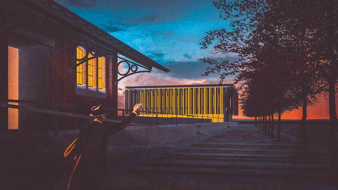
An open-air industrial museum
The idea of an open-air industrial museum highlighting the particularities of Anina's built environment was outlined right from the first stage of the project (March-November 2014), oriented towards officially recognized industrial heritage sites (LMI)3. This idea was emphasized with each new visit or cultural action oriented towards the promotion of Anina's heritage values. As a result, in the second phase (May-December 2015), we experimented with a possible cultural itinerary approaching the "one monument/one event" principle in parallel with the start of the study for the development of a mining museum within the Pit I Ensemble. Finally, in the third phase of the project (June 2016-March 2017), we experimented with different creative activities with the idea of stimulating local cultural entrepreneurship and informing about the complexity of industrial heritage. All three stages were opportunities to discover the territory and understand its characteristics.
We continue to advocate the need to develop a cultural itinerary at the level of Anina in which each heritage site becomes an exhibit in itself, thus conditioning the development of a unitary intervention at the level of the whole territory. Otherwise, without a unified vision, industrial monuments will be decontextualized, seriously affecting their authenticity. A first step in this direction can be considered to be the photographic inventory realized in the three editions of the cultural project, simultaneously with the theoretical and practical exploration of different techniques of photography and inventory. Part of this photographic inventory is illustrated in the publication "Anina's industrial landscape: heritage representations and interpretations", in combination with the studies carried out on the specifics of Anina's industrial and post-industrial transformation.Thus, the existing - photographically illustrated - is interpreted from the perspective of the different heritage values specific to an industrial territory, identified throughout the three stages of the project.
We do not claim to have created a complete and integral guide to the industrial landscape of Anina, but to bring to the forefront the complexity of the approach to a territory
still in transformation. Moreover, we are aware of the limitations of the territorial inventory process resulting from the time limits conditioned by the presence of the team in the field, the low budget, the limited access in some cases, but also the physical limit imposed by the administrative territory of Anina which does not necessarily correspond to the "boundary" of the territory modeled by the industry in the area. In spite of these limitations, we have tried to illustrate in a coherent way the elements identified as characteristic of Anina landscape. As a result, the choice of illustrating and representing these elements contributes to defining the different chronological stages of territorial transformation, as well as to highlighting the diversity of the industrial heritage.
In terms of photographic inventory methodology, several different techniques were applied, based both on the objective approach specific to the fields of archaeology and architectural heritage (inventory sheets, complete photography of the studied object, photogrammetry, GPS identification and positioning) and on subjective introspection in relation to an unknown territory and the creation of images based on the photographer's personal experience. The aims of applying these different techniques were, on the one hand, to capture the current state of transformation of the territory and, on the other hand, to develop an alternative didactic exercise to approach the theme of the industrial landscape.
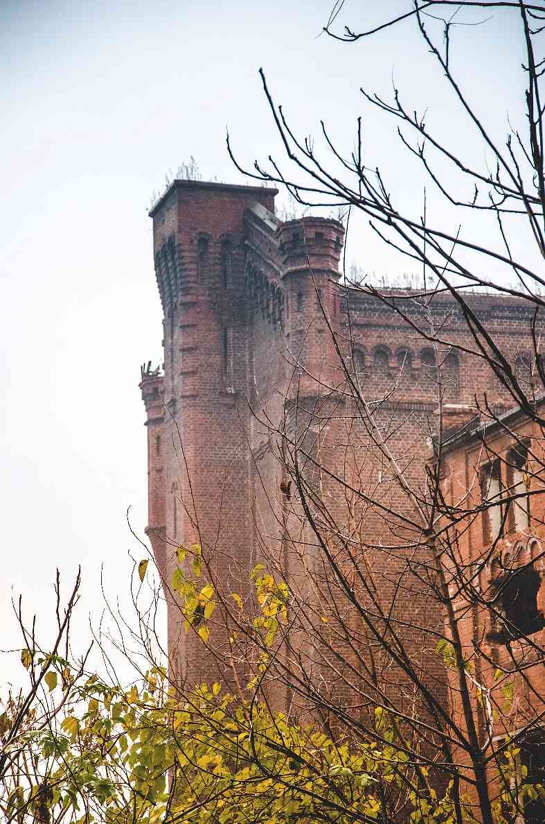
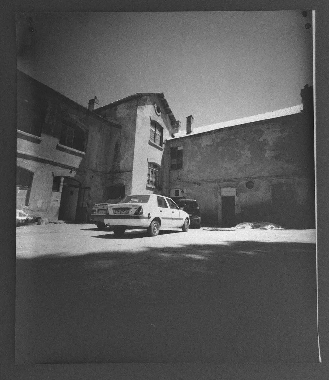
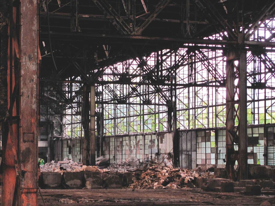
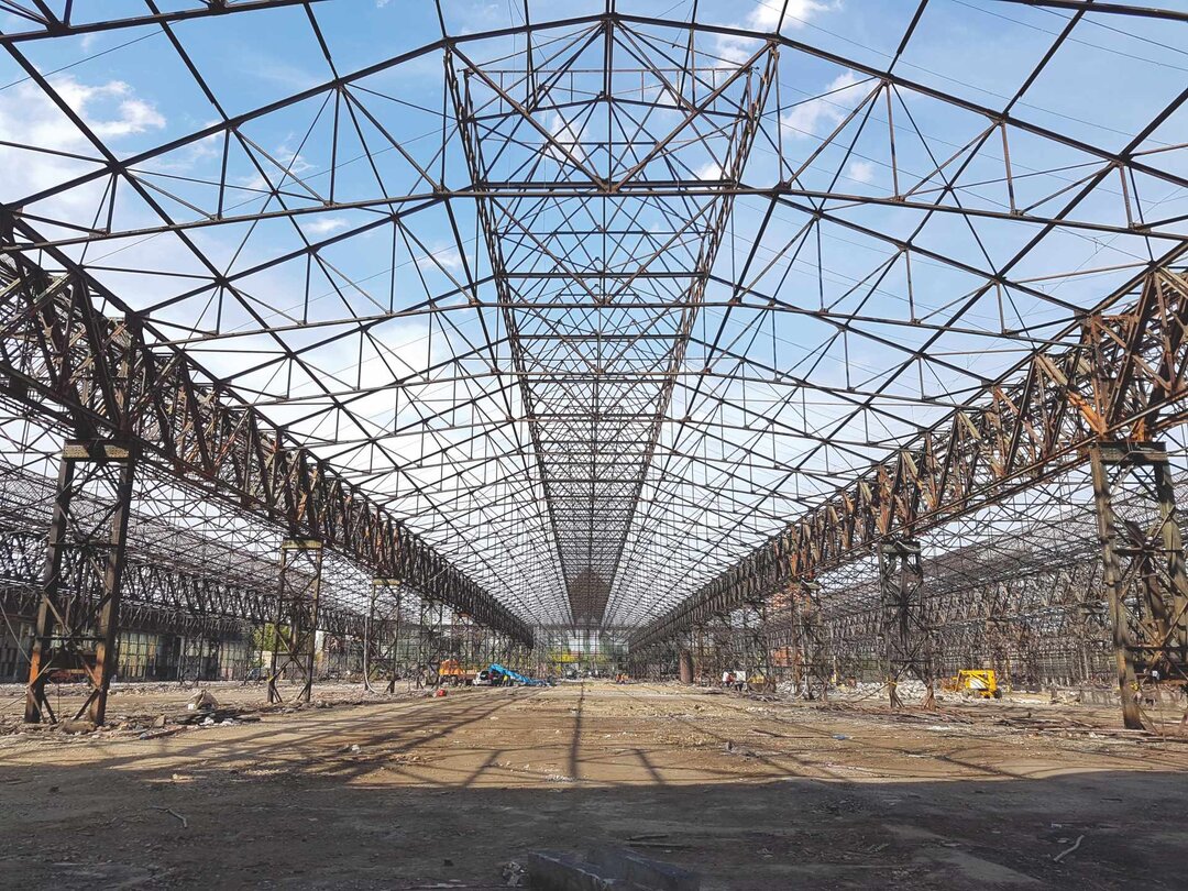
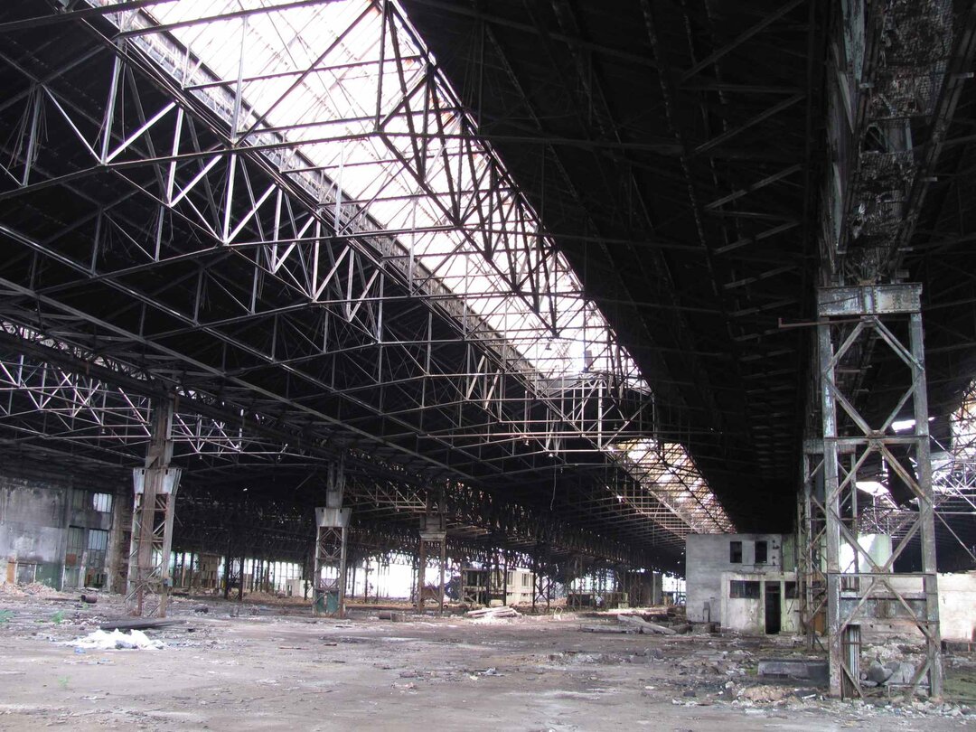
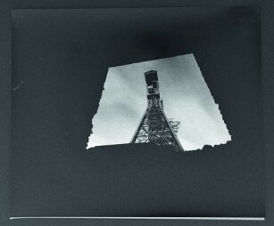
The photographic inventory of Anina began somewhat instinctively in 2014 (first edition "Mine of Ideas Anina") from the perspective of the "outsider" who followed the material signs of mining: from the most striking perspectives of Pit I, to the abandoned and in the process of demolition territories, to the urban art elements scattered throughout the city. Each tangible testimony told us a story about local mining that inevitably ended up being contextualized in the history of Banat Montan, the Habsburg Empire or Romania. Subsequently, we got to know the territory much better, enlarging the photographic inventory to as many areas as possible, however, insufficient to encompass and capture everything.
This inventory, objective and subjective at the same time, captures Anina in a fixed moment in time, which will not be repeated, no matter how the territory will transform itself - either towards the preservation and valorization of the built heritage or towards a total material disappearance.
Anina's industrial landscape
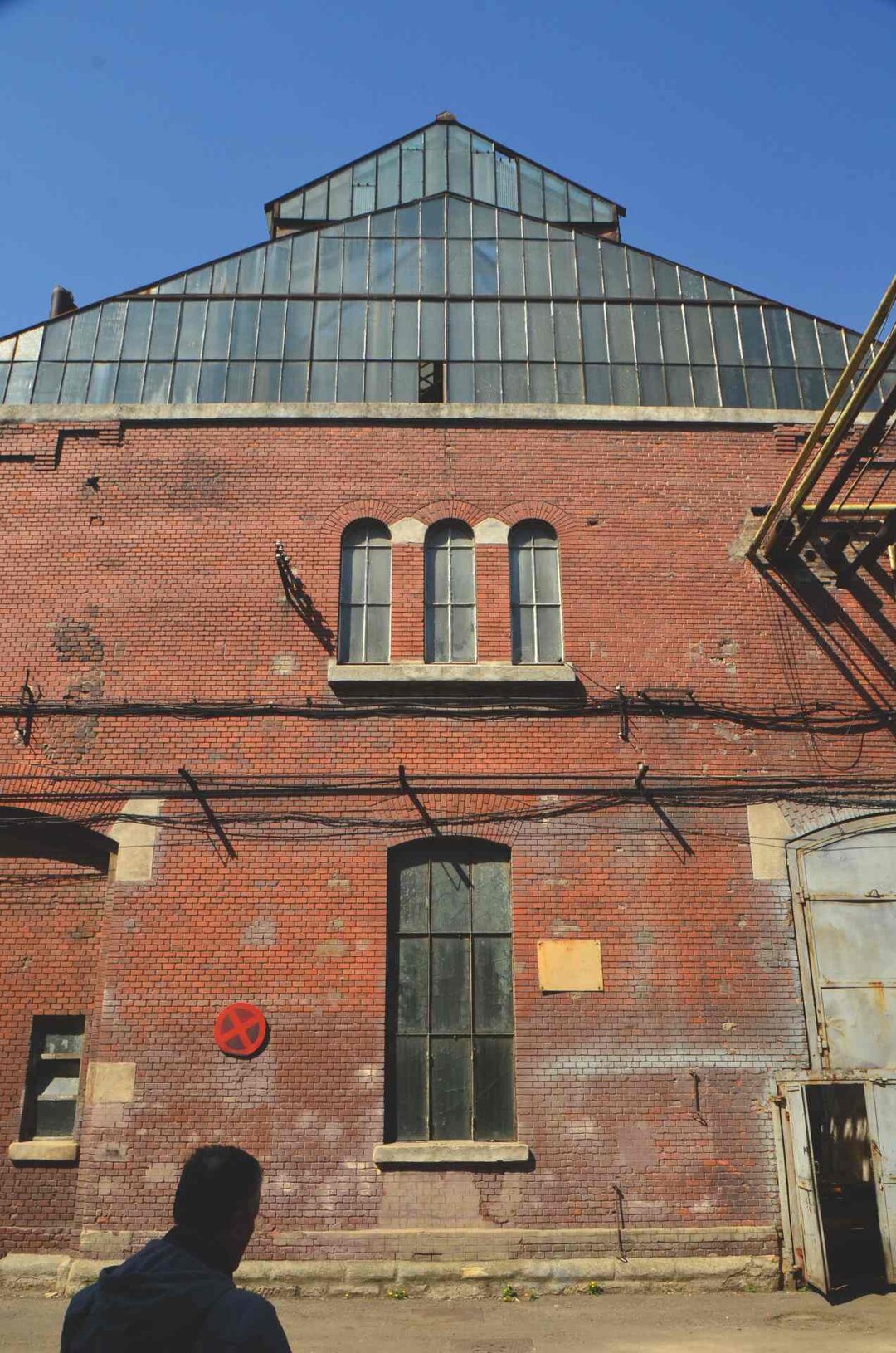
Specifically, the current landscape of Anina is the direct result of industrial activity in the territory over a relatively short time span (about 200 years) compared to the evidence of Paleolithic life found in the Bone Cave7. In the current perception of the inhabitants, the landscape is not directly related to its industrial past, but rather to the perspective of its natural values: fresh air, water, greenery8. This perception is also maintained by most of the tourist guides of the area, which are oriented towards the natural sights of the Anina Mountains, such as the Nerei, Caras or Minis Gorges, the Buhui or Plopa caves, the Marghitaș and Buhui lakes, etc.9 Of the tourist attractions that
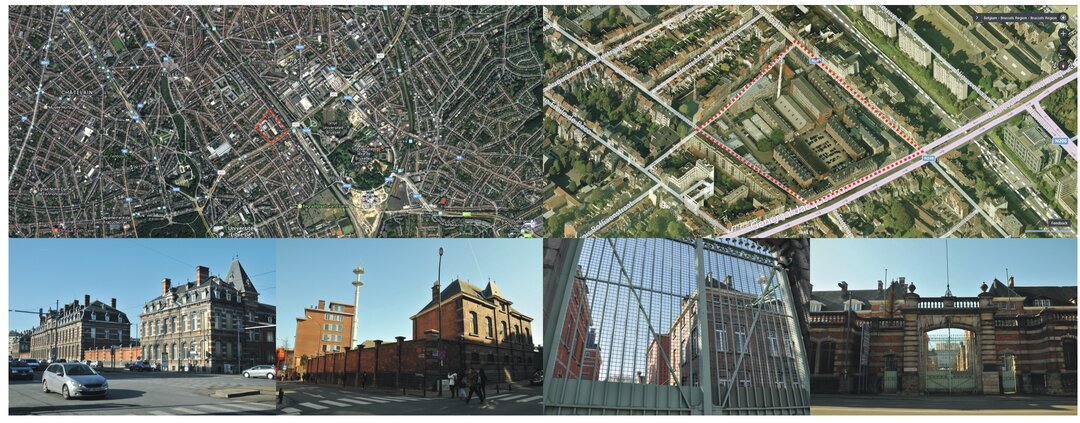
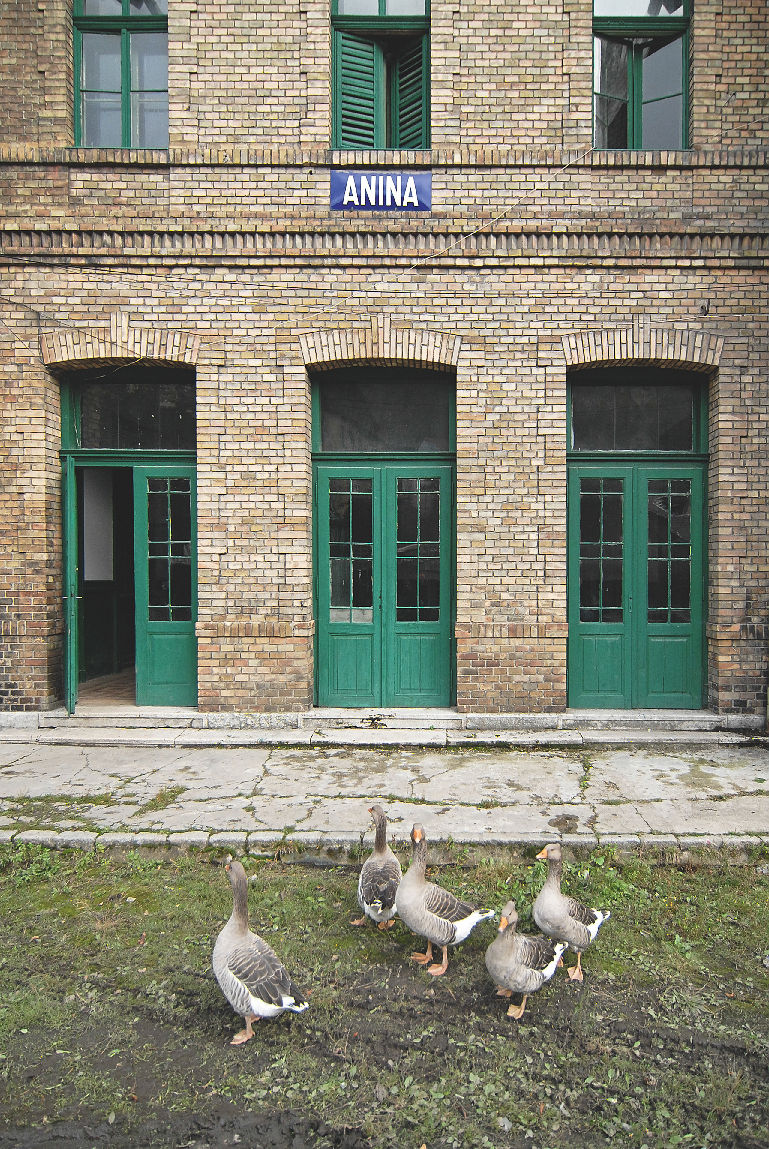
of the site's industrial past, the most mentioned are the Anina-Oravița railroad and the Anina railway station. Thus the impact of man on the territory and the transformation of the landscape through his activities is eliminated.
The publication "Mina de idei Anina" tries to bring to the forefront precisely this physical interaction between man and nature, in order to capture the specific elements of the place, but also to offer a new interpretation of identity in a time of post-industrial crisis. In the current context, when seeking to find a way out of this crisis - as quickly as possible, as efficiently as possible and with immediate results - it must be understood and accepted that finding this solution is not possible without defining a sustainable strategy based on stimulating a positive perception of the landscape on which we are intervening. This positive perception can only be achieved through the identification of specific landscape elements, based on a territorial inventory, followed by positive publicity within the community itself through socio-cultural awareness-raising and information actions.
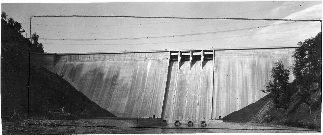
Based on international definitions with reference to the cultural landscape, Anina's landscape can be considered as 'evolving', a direct result of the community's industrial, social and administrative activities in response to the environmental conditions. In other words, starting from the exploitation of coal as the main activity and engine of development of the entire local economy, the current territory of Anina has been shaped on the basis of the principle of efficient industrial production: the maximum and most economically efficient exploitation of natural and human resources. The totality of the links and interactions between its various component elements were directly conditioned by this factor of technical and productive efficiency: the location and development of Anina's industrial structures was directly conditioned by the existence of raw materials (coal, oil, oil shale, clay, forest, water, etc.), which in turn influenced the subsequent development of residential areas (workers' settlements), socio-cultural nuclei and recreational areas. All these elements were and still are supported by a network of infrastructure (railways, roads, bridges, aqueducts, stations, etc.) designed to serve industrial production on the one hand and the daily activities of the communities formed on the other. This principle of shaping and transforming the territory is common to all areas marked by industrial production, regardless of its profile. Thus, we come to understand why Anina has spread over such a large area, why it has a particular spatial coherence (urban-rural) or why we manage to identify several "central" nuclei defined by socio-cultural functions.
With the discovery of oil in 1790 and until the closure of mining activity in 2006, any new mining gallery or shaft required a specialized workforce to carry out the actual mining and subsequent mining operations. This workforce settled in the territory in close proximity to the work site, with easy and direct access and living conditions conducive to temporary or permanent settlement in

area. More specifically, each extraction well in Anina was closely connected with the workers' colonies, which in most cases took the name of the well: the Reitz well - Reitz colony, the Thinfeld well - Thinfeld colony, the Uterisch well - Uterisch colony, etc. Thus, the well-colony couples form a single spatial entity, whose evolution and transformation over time become a key to reading and interpreting the present-day landscape of Anina. Later on, with the development of other local industries in the mid-19th century, the factory and the industrial site are associated with the colony, contributing to the development of the urban core, recognized today as the 'town centre'.
Starting from this close link between the industrial space and the community, we have chosen to illustrate the characteristic elements of Anina's industrial landscape, trying to capture the complexity of the territorial transformations, the conditions that determined them and, last but not least, the current testimonies. Its interpretation, from the industrial heritage perspective, can become an integrated territorial planning tool, contributing not only to the protection of local heritage values, but also to a balanced post-industrial development.
Landscape fragments
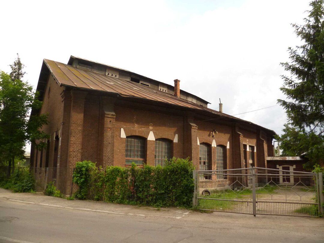
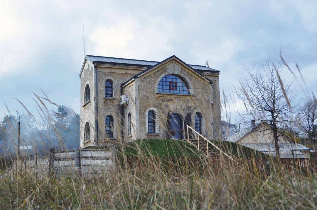
With the publication dedicated to the "Anina Mine of Ideas" project, we propose for debate the notion of "Landscape Fragments". Taking into account the definitions of cultural landscape14, we consider the (post)industrial territory of Anina as a mosaic of fragments subjected, oriented and organized by one or more determining elements. This concept is also based on the way of perception - interior/exterior - of the settlement itself. Thus, we considered the territory of Anina, formed by the growth and union of several nuclei: Steierdorf, Anina, Sigismund, Brădet, Celnic, Orașul Nou and Crivina, as a mosaic of landscape fragments developed in different historical periods and of different territorial dimensions. The identification of these fragments is intended to better present and support the depth of the territory. The process of identifying the landscape fragments also resulted from the desire to point out the spatial-territorial structures with the greatest impact on the community's identity, such as the case of the First Well and the Anina settlement, the thermoelectric power station, the Second Well, the railway station or the fire station (Steierdorf).
The two main fragments of landscape that are identified with Anina today are the "town center", developed in connection with the Puț I ensemble and with which most of the internal community is associated, and the New Town, the last developed neighborhood-colony, with which the post-industrial decline of Anina is associated. The image of Orașul Nou is most often associated with the typology of declining settlements in the Romanian context, emphasizing the outside community's perception of Anina.
Heritage representations and interpretations
In the current Romanian context, in which post-industrial towns are struggling - somewhat intuitively - to find their identity, we are convinced that Anina maintains its mining identity. The whole intervention strategy must start from this aspect.
Anina is and will remain a mining town.
This could mark the transition from the actual exploitation of the coal deposit to the "exploitation" of the mining identity perceived as a resource for economic, social and cultural revitalization. In addition, there is a twofold heritage value: the specific and the overall. Recognizing the territory of Anina from a cultural landscape perspective implies protecting its values and characteristics as a whole.
The current landscape of Anina is represented today by a superposition of historical and topographical layers: the first of them is the natural one, strongly anthropized by the mining and metallurgical industry or by the exploitation of wood. The wells and settlements are the first layer of this landscape, followed by functions associated with industry or functions intended for the local community. Over these is superimposed another reading of the territory from the perspective of the community and collective memory, pushing the boundaries of heritage into the realm of the intangible: life driven by the rhythm and frequency of the underground 'shoots' and the smell of the coal brought to light, community life perceived through traditions and customs, the transmission of local memory and the settlers' way of life in relation to the different historical periods, local perceptions of the mining identity itself. Moreover, part and parcel of the evolution of the community and the mine is the history of the long series of underground accidents. Some without the others would not have the same logic and meaning. Therefore, elements analyzed only individually would lose their value and their urban, architectural and historical coherence. Moreover, not to consider the complex aspects of the miners' daily life, social and cultural life, in relation to the architectural and urban-territorial spaces that supported them, is to fail to understand the complex manifestation of industrial heritage.
Of course, the territory is evolving in one direction or another, but the more elements that give coherence are preserved and the better the way in which conservation, restoration or transformation is monitored, the greater the chances that Anina will retain its authenticity. As Francesco Toso specified during the first edition of the "Mine of Ideas Anina" project, "the intention is not to preserve everything as it is, but rather to generate a series of controlled interventions that prevent the disappearance of material testimonies while improving the living environment, sustainability and the level of re-appropriation of the place".


The cultural project "Mina de idei Anina" was initiated by the Cultural Association "Alba Verde" and financed in all three editions from the "Taxa de Timbru" (cultural projects session) - Romanian Order of Architects. Official partners in the project: Anina Town Hall, Faculty of Architecture and Urbanism Timișoara (UPT), OAR Timiș Branch, Cultural Association Patrimoniul Activ (PACT), Cultural Association "Il Giocattolo" (Brădet-Anina), Cultural Association "Atelier NOD" (Baia Mare). Media partner: e-zeppelin.com

Project coordinators:
dr. arh. Oana Țiganea, arh. Marius Barbieri
Project co-authors:
dr. arh. Gabriela Pașcu, drd. arh. Ovidiu Micșa
Collaborators:
urb. Alexandru Damian, urb. Laura Damian, arh. Adrian Dumitru, arh. Mihai Veg, dr. arh. urb. Irina Rotaru, sociologist Simona Zărnescu (Braniște), archaeologist dr. Călin Șuteu, dr. eng. arh. Francesco Toso, photographer Paolo Mazzo, photographer Samuele Piccoli
External collaborators and invited specialists:
dr. arh. Irina Iamandescu, prof. dr. dr. arh. Teodor Octavian Gheorghiu, conf. dr. arh. Liliana Roșiu, prof. dr. eng. Miorița Ungureanu, dr. arh. Diana Belci, Mark Watson, dr. arh. Irina Tulbure, dr. arh. Ilinca Păun, historian dr. Mara Mărginean, anthropologist dr. Michele Coletto, arh. Valentin Meteș, arh. Virgiliu Guralic, arh. Alexandra Suciu, Ilie Chincea
Students and researchers involved in the three Industrial Heritage Workshops:
(2014) Laurențiu Artugyan, Sofia Paulina Balaure, Adrian Bucin, Cristina Filca, Iulia Gălinescu, Henrietta Hmenya, Alin Ianoși, Lucian Lighezan, Cristina Merciu, Laura Poară, Ionuț Popescu, Constantin Tudorache, Radu Vit, Simona Zinca
(2015) Valeria Artenii, Adriana Ciotău, Cristina Costea, Edith Heczei, Georgiana Jipa, Adina Lehene, Adelina Lupu, Maria Mandea, Claudia Moței, Cosmin Scorcealof, Teodora Ungureanu
(2016) Bianca Batcu, Bianca Braic, Adriana Ciotău, Cristina Costea, Tudor Gheorghe, Andreea Ionescu, Adelina Lupu, Maria Mandea, Andreea Oancea, Ioana Paliuc, Alexandra Pițuru, Cosmin Scorcealof, Teodora Ungureanu