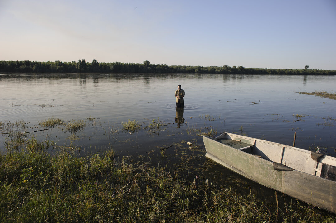

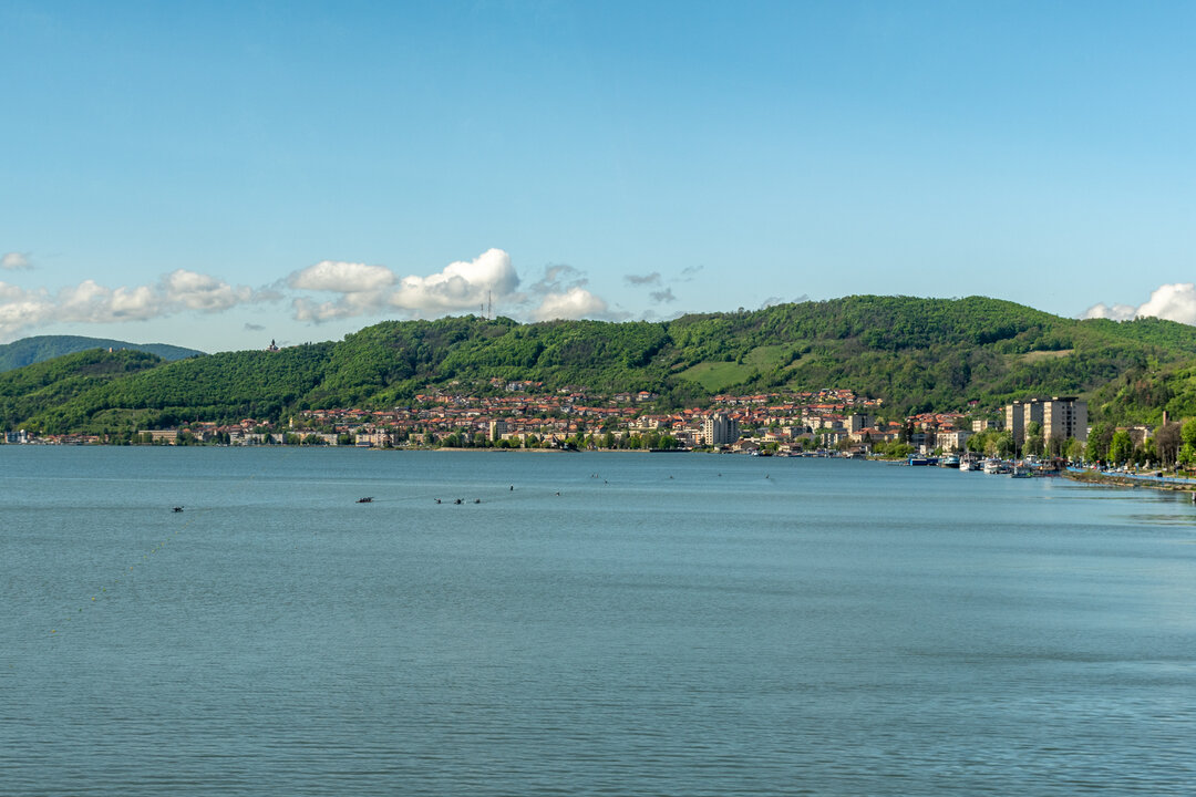
1.075 km
The Danube, powder road
© Anca Galiceanu
The Danube is the second longest river on the continent (after the Volga), with a length of between 2,850 and 2,860 km, depending on its source. In dry years, the Danube does not collect enough water at its source, with its sources moving downstream. In addition, silt deposits at its mouths mean that the river is constantly advancing into the sea, hence the differences in length from one bibliographical source to another. It is the longest river in the European Union and the only one flowing from west to east. Over 2,400 kilometers of its total length are navigable in one form or another.
The Danube flows through no less than 10 countries: Germany, Austria, Austria, Slovakia, Hungary, Croatia, Serbia, Romania, Bulgaria, Moldova and Ukraine, passing through four capitals: Vienna, Bratislava, Budapest and Belgrade. It is the only river in the world to achieve this feat! Its catchment area, i.e. the area of land from which its tributaries gather, is even larger, more than 800 000km2. It includes tributaries from 9-10 other countries (Italy, Switzerland, the Czech Republic, Poland, Slovenia, Bosnia-Herzegovina, Montenegro, Macedonia, Albania, Kosovo, which is not recognized as such by all European countries), making it the most "international", the most "cosmopolitan" river on the planet. There is also a major disadvantage of this privileged position - any event affecting the waters of this huge area (accidental pollution of a river, for example) can be transmitted, directly or indirectly, to the Danube Delta.
The river originates in a swampy area in the Black Forest (Germany) in the form of two streams, the Brigach and the Breg. These join in the small town of Donaueschingen (Germany), downstream of which we can already speak of the Danube proper. The headwaters of the Danube are close to the mouth of the Rhine (similar to the Olt and Mures rivers), which is why the area is known as the "watershed of Europe". Because of the local geological structure, the sources of the Rhine tend to advance at the expense of the Danube, so that at some point (in geological time, of course) the actual sources of the Danube will eventually feed the Rhine.
At Passau, the beautiful "city of three rivers" (the Danube, the Inn and the Ilzul converge here), the river leaves German territory and flows further into Austria. As it gathers more and more water, it gradually changes. In its upper reaches, from the headwaters to the Devin dam (Slovakia), it is a fast-flowing, fierce river. It then subsides in the middle reaches between Devin and the Iron Gates and becomes a true lowland river in the lower reaches, down to the spill. Coincidence or not, the river flows into the Black Sea after wetting the Caraorman sandstone, a word of Turkish etymology meaning... "black forest". And, also as a curiosity, both we and the Germans sing the Danube in the feminine gender, while the Slavic peoples along the route speak to the river in the masculine gender.
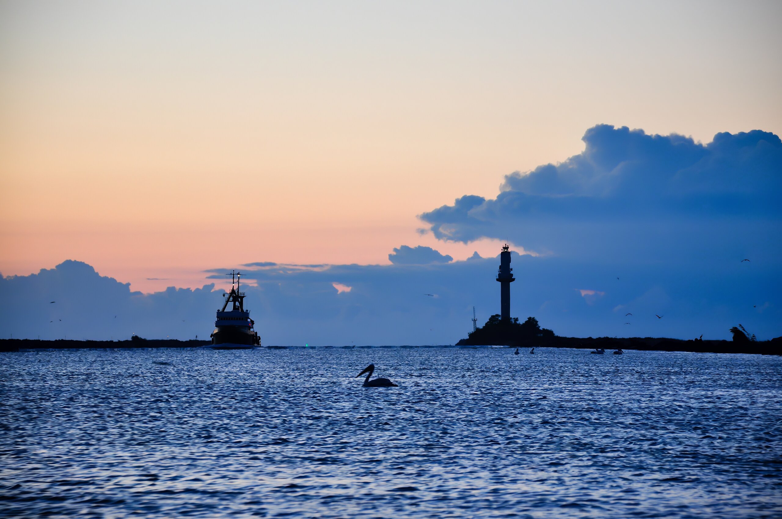
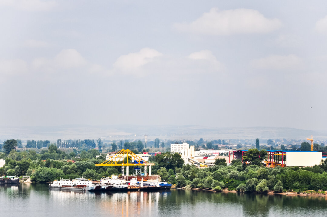
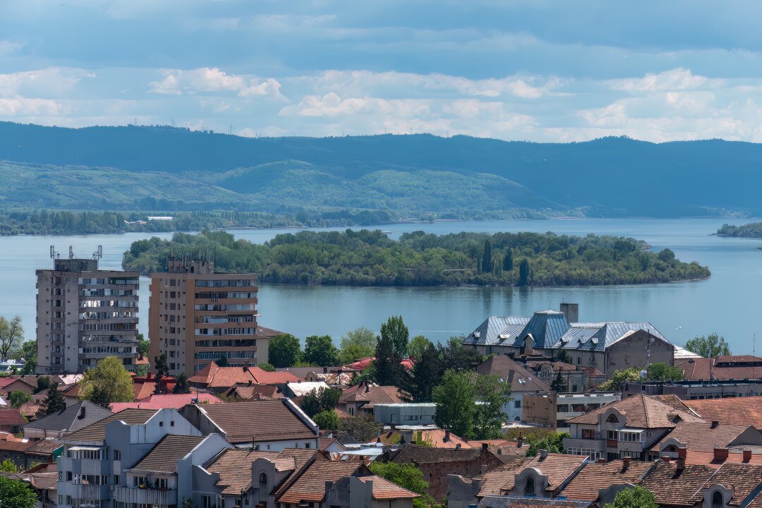
After entering Romania at Baziaș, it travels some 1 075 kilometers before meeting the Black Sea at Sulina, considered its terminus. Of the two banks, the left bank belongs almost entirely to us, except for relatively short stretches where the Danube forms the border with Moldova (from the Prut downstream for 570 meters) and Ukraine (for 169 km, at the Chilia Arm). Only 375 km of the right bank (from Ostrov to the spillway) is entirely ours, while the rest of the river borders Serbia (from Baziaș to Gura Timocului, 230 km) and Bulgaria (from km 845+500 to km 375, Calarasi - Silistra).
For those who want to calculate the distance by water between the different riverside towns, it may seem strange that sometimes it is expressed in kilometers, sometimes in nautical miles. From Sulina to Brăila, whatever the season, the Danube is at least 24 feet deep, i.e. a minimum of 7.32 m, deep enough to allow access for large transport vessels (no more than 180 meters long, with a maximum draught of 23 feet, i.e. 7 meters). For this reason, this stretch is also called the Maritime Danube. The maritime Danube therefore includes the entire Sulina Channel and Tulcea Arm, as well as the river itself from the Ismail Ceatal (where the Chilia and Tulcea arms divide, from the Turkish "ceatal" - fork) to Brăila. On this stretch the distances are measured in nautical miles, while on the rest of the course (including the Sfântu Gheorghe and Chilia branches, as well as the Danube upstream of Brăila, km 170-175) the distances are measured in kilometers. The numbering always starts from the spillway upstream.
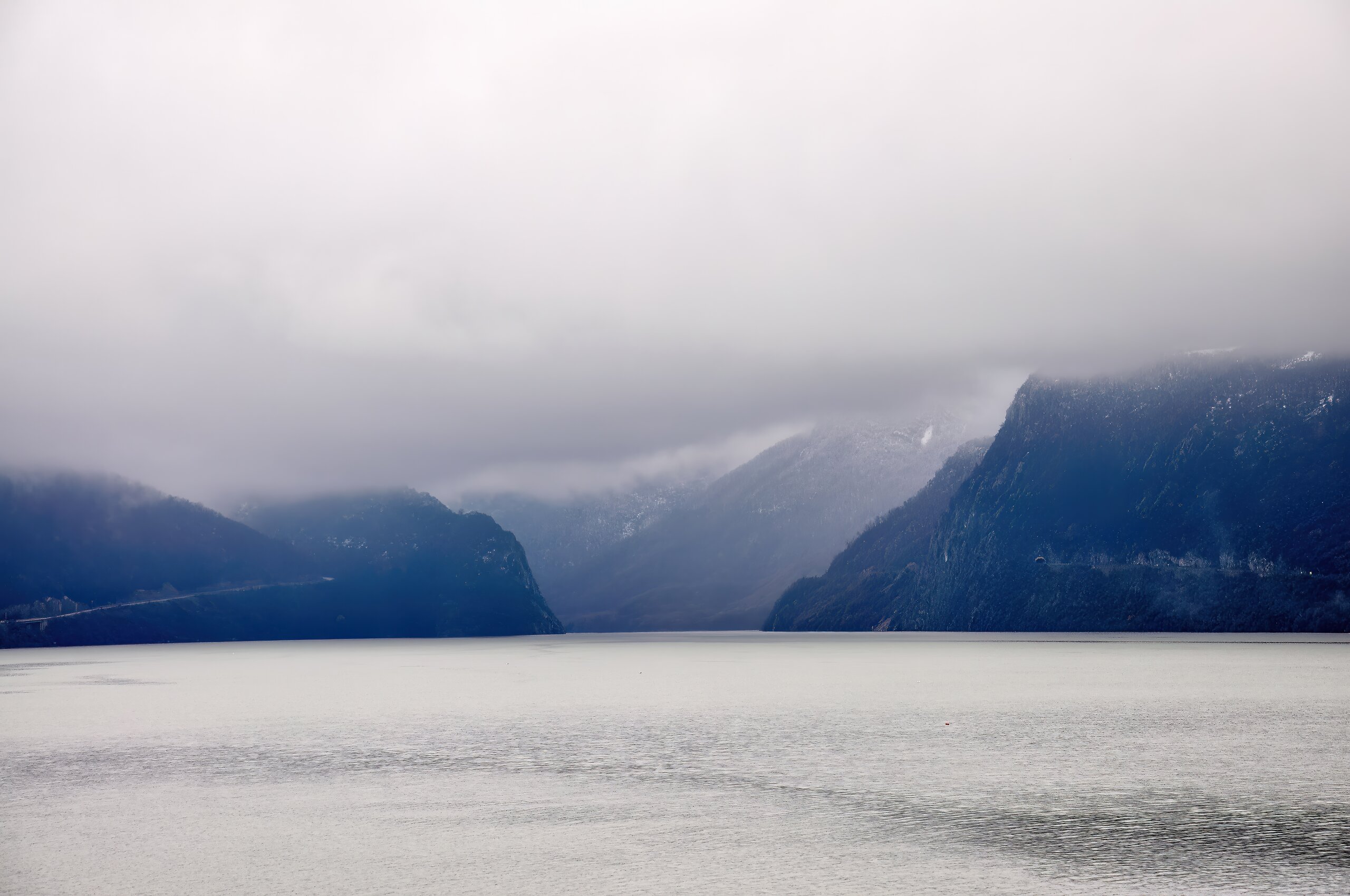
There are two large dams on the lower reaches of the Danube: Iron Gates I (km 943) and Iron Gates II (km 863), crossing the longest gorge in Europe. About 135 km long, the Danube gorge separates the Carpathian Mountains (to the north) from the Balkan Mountains (to the south). Its banks have been inhabited since the Mesolithic period - at Lepenski Vir, on the Serbian side of the Danube, traces of Europe's oldest "city" (estimated to be over 11 000 years old) are preserved. The dams serve the hydroelectric power stations of the same name, jointly operated by Romania and Serbia (where they are known as Djerdap I and II, from "giardap", an anaphora or whirlpool in Turkish). At the time of its inauguration, Iron Gates I was considered the 10th largest hydropower plant in the world. It remains the largest hydropower plant in the European Union.
A third hydropower plant, Iron Gates III, is planned to be built by the two countries downstream of Iron Gates II as a hybrid plant (with an upstream water pumping component). There have also been talks to build a "purely Romanian" hydropower plant on the Danube, in the Măcin area, a project fortunately not finalized. The two joint projects with Bulgaria, to be developed in the Turnu Măgurele - Nikopol and Călărași - Silistra regions, have a better chance of success. While Iron Gates III is still at the concept stage, preliminary work has already been carried out on the Turnu Măgurele - Nikopol power plant, even though the construction site is currently closed and the exact location of the power plant is being re-examined.
Any such hydro-technical work has a major environmental impact. The Iron Gates I dam, for example, is 60 meters high and has created Europe's largest reservoir, stretching upstream as far as Belgrade. The current maximum depth of the Danube in the reservoir is 90 meters. With the rising water level, the famous rocky outcrops in the riverbed, once the terror of sailors, the old part of Orșova and, last but not least, the famous island of Ada Kaleh have disappeared.
The local relief would have made it possible to erect a dam almost twice as high, but that would have meant flooding the entire plain between the Danube and the Tisa, too much even for the (anti)environmentalist concepts of the 60s. And so, the rise in the water level behind the dam by 32-35 meters transformed the middle course of the Danube: the water velocity dropped considerably, favoring intense siltation. The cliffs in the gorge, once an ideal breeding ground for large migrating sturgeon, have been covered in silt. In addition, although the dam is equipped with locks on both banks, no one has thought of the morunas, sand eels and Danube mudfish, which, in the absence of the so-called 'fish ladders', can no longer swim upstream to places with strong currents and hard substrate to spawn.
The hydroelectric power stations at the Iron Gates and all the systematization, damming and regularization works carried out on the tributary rivers have led to a collapse in the quantity of silt transported downstream by the Danube. The drop would have been even more dramatic if it had not been partially compensated for by the embankments in the meadows, which prevented the river from overflowing and the water from draining the flooded pastures.
The result of man's destructive work? Unable to reproduce, sturgeon stocks declined dramatically. Widowed by the silt, the delta has stopped its advance towards the open sea, and in places is literally losing ground. In the absence of the floodplain, which would have served as a mechanical and biological filter for the Delta (retaining silt and harmful chemicals), as a dumping area and as a flood control area, the waters of the lower Danube are rushing downstream with greater force, causing far-reaching changes in the Delta. Paradoxically, although the Delta's advance into the sea has slowed down or regressed in places, the process of siltation in the western part has accelerated. Fish once common at the mouths of the Danube (carp, plaice, etc.) have been deprived of their spawning grounds in the immediate vicinity of the Delta (Balta Ialomiței, Insula Mare a Brăilei), with a marked reduction in stocks downstream. This is how a cleaned pasture at Călărași can mean fewer fish in the Delta and how much influence dykes and dams hundreds of kilometers upstream have on the mouths of the Danube!
The Danube is home to the vast majority of Romania's rivers, which account for almost a third of the river's entire catchment area. Only a few small rivers in Dobrogea are exceptions. Most of the country's towns and cities discharge their sewage, directly or indirectly, more or less purified, into the Danube. 18 towns and cities are located directly along the river in our country alone. Only 10 years ago, Romania's largest urban agglomeration, around Bucharest, was sending the sewage and excreta of more than three million people directly into the river without any prior treatment. The same was happening at the gateway to the Delta, in Tulcea. Even if the situation has improved in the meantime, with the commissioning of parts of the treatment plant in Glina (near Bucharest), the ideal is far from being achieved and the water carried by the Danube into the Delta is much dirtier and more harmful than we would like to believe. There is a silver lining: by abandoning super-intensive "scientific" agriculture, the concentration of chemical fertilizers (nitrates, phosphates, etc.) in the river water has steadily decreased over the last three decades, with the first tangible result being an improvement in water quality... Black Sea.
In order to limit the adverse effects of these changes and avoid irreversible changes of the kind that occurred after the Iron Gates dams were built, the riparian countries signed a Convention on Cooperation for the Protection and Sustainable Use of the Danube River in Sofia on June 29, 1994. Since 2004, June 29, which coincides with the Christian feast of Saints Peter and Paul, has been declared International Danube Day, celebrated with special events in all countries along the Danube.


-topaz-denoise-enhance-sharpen--15883-m.jpg)