1.075 km

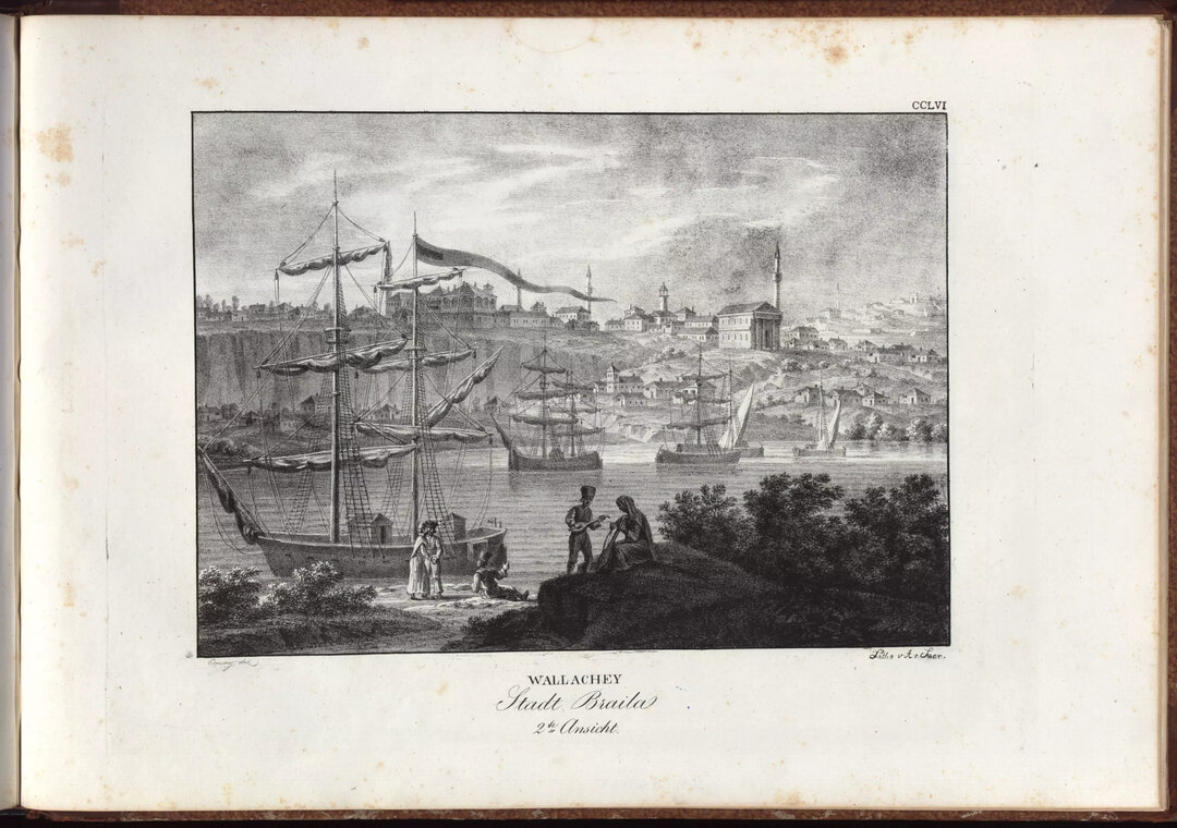
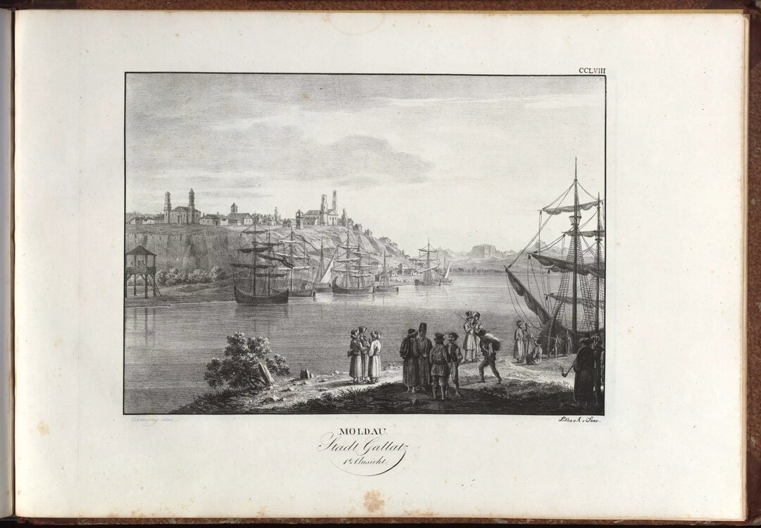
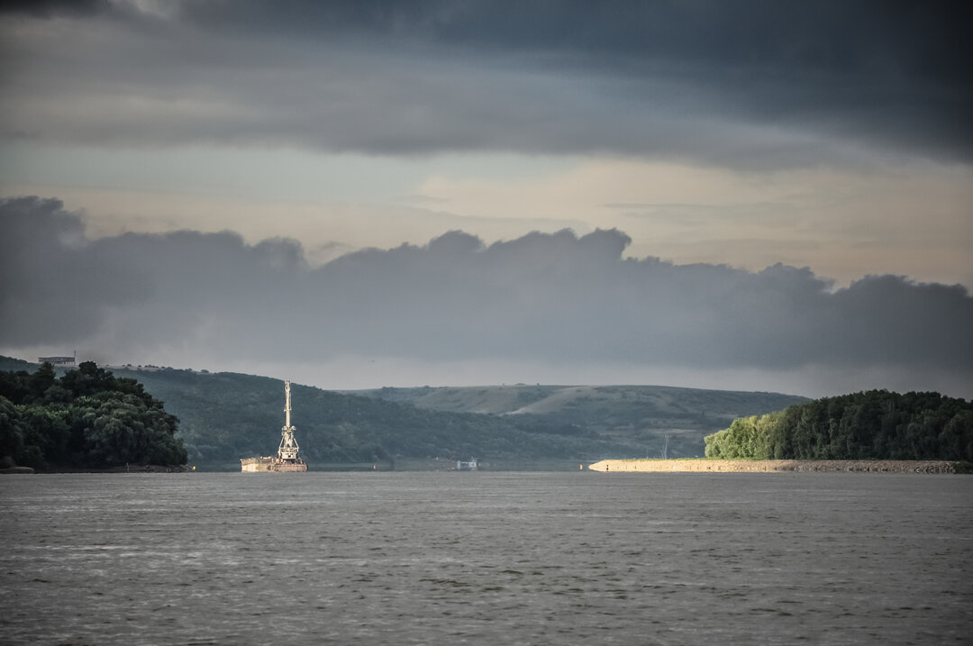
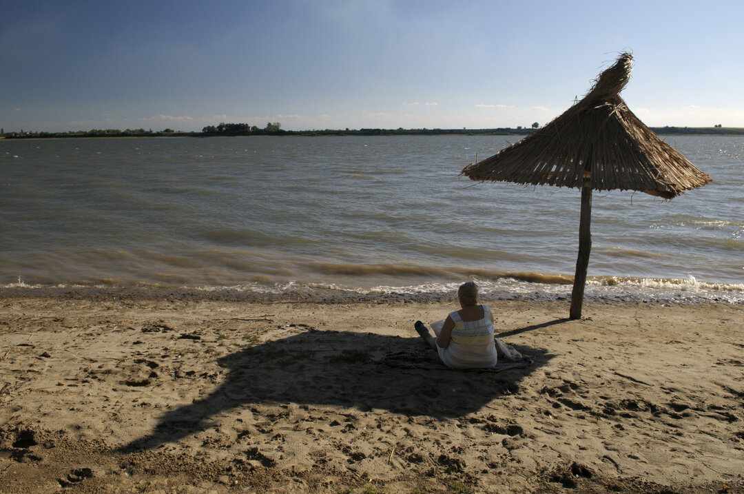
The Danube has been, throughout the ages, a determining presence for the spatial, geographical, natural, geo-political, economic and cultural configuration of the territories it crosses. From a historical perspective, the river has been a powerful natural boundary, a territorial dividing line, and thus a theater of war, but also a navigation route which facilitated economic and cultural exchanges throughout Europe.
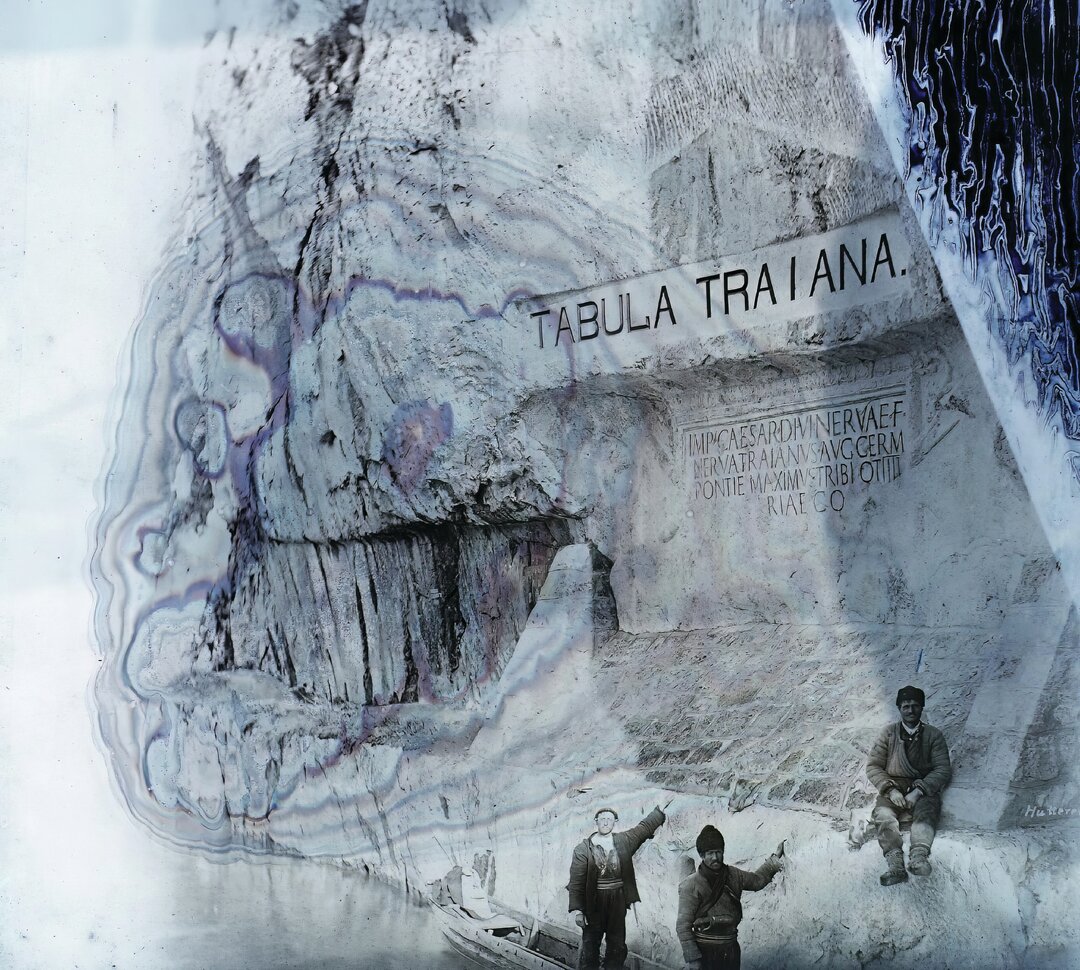
The expansion of the Roman Empire turned the Danube into a frontier between Roman civilization and the areas occupied by tribes considered barbarian. The Danube Boundary was part of a complex system of defensive frontiers linking Hadrian's Wall in Britain with the limits of the Middle Eastern Empire.
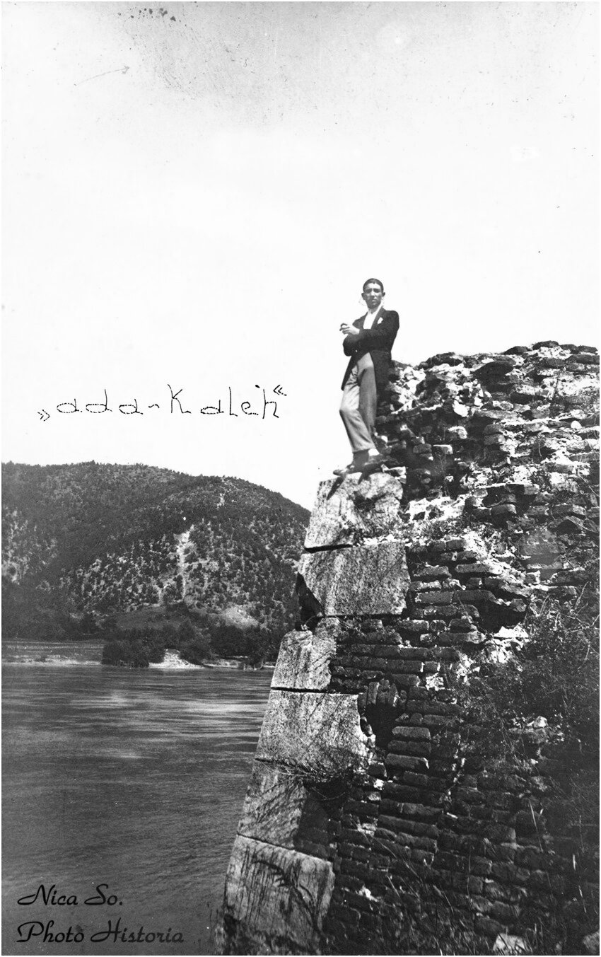
Today, numerous archaeological remains of the ancient fortification system remain along the Danube: fortresses, castles, civil settlements and infrastructure. In general, in Romania, with few exceptions, these archaeological sites are little known or researched. In the meantime, the trend at European level is to create thematic tourist routes, one variant being that of cultural routes, with the Danube Limes representing a vein of interest in this field.
From July 2020 to December 2022, on the initiative of Donau University Krems, the project "Living Danube Limes - Cultural Heritage Valorization and Sustainable Tourism Development through Living Danube Limes Heritage as a Basis for a Cultural Route" was carried out within the framework of the Transnational Danube Program1. The University of Architecture and Urbanism "Ion Mincu" was invited to participate in this project as a partner in the international consortium Living Danube Limes2. The UAUIM worked in collaboration with the National Institute for Research and Development in Tourism, the Museum of National History and Archaeology of Constanta and the Institute of Archaeology "Vasile Pârvan".
UAUIM has carried out a series of studies on the Romanian Danube Limes, with the aim of identifying ways of integrating archaeological sites into a future European cultural route and research on possible interventions to increase the visibility of the historical heritage.
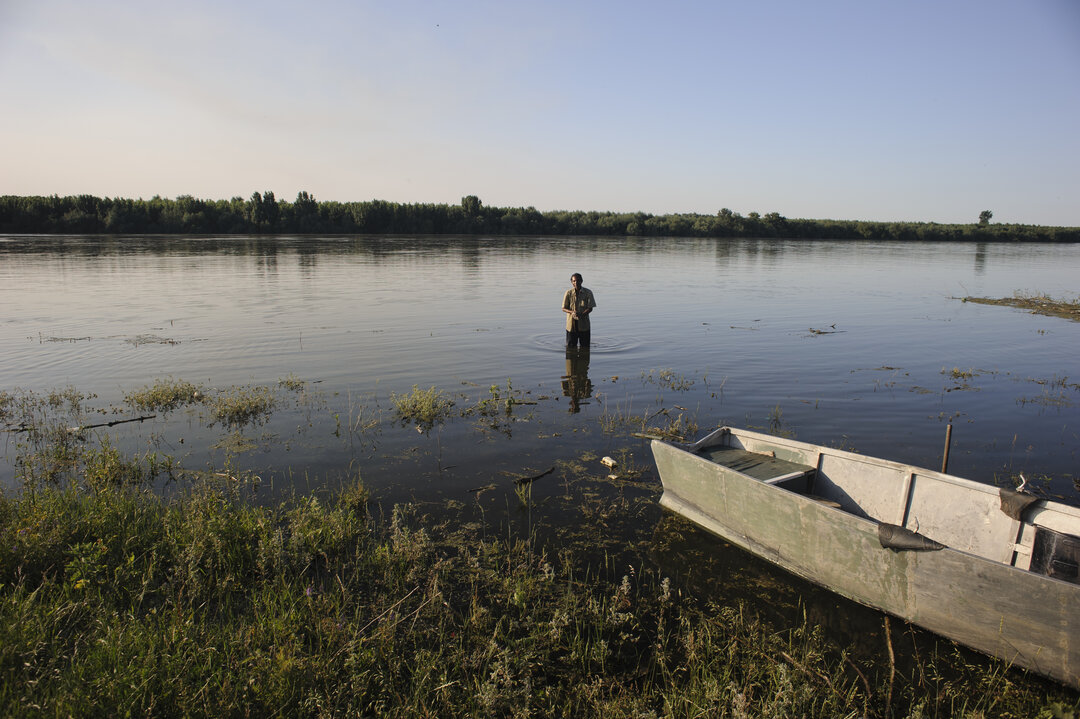
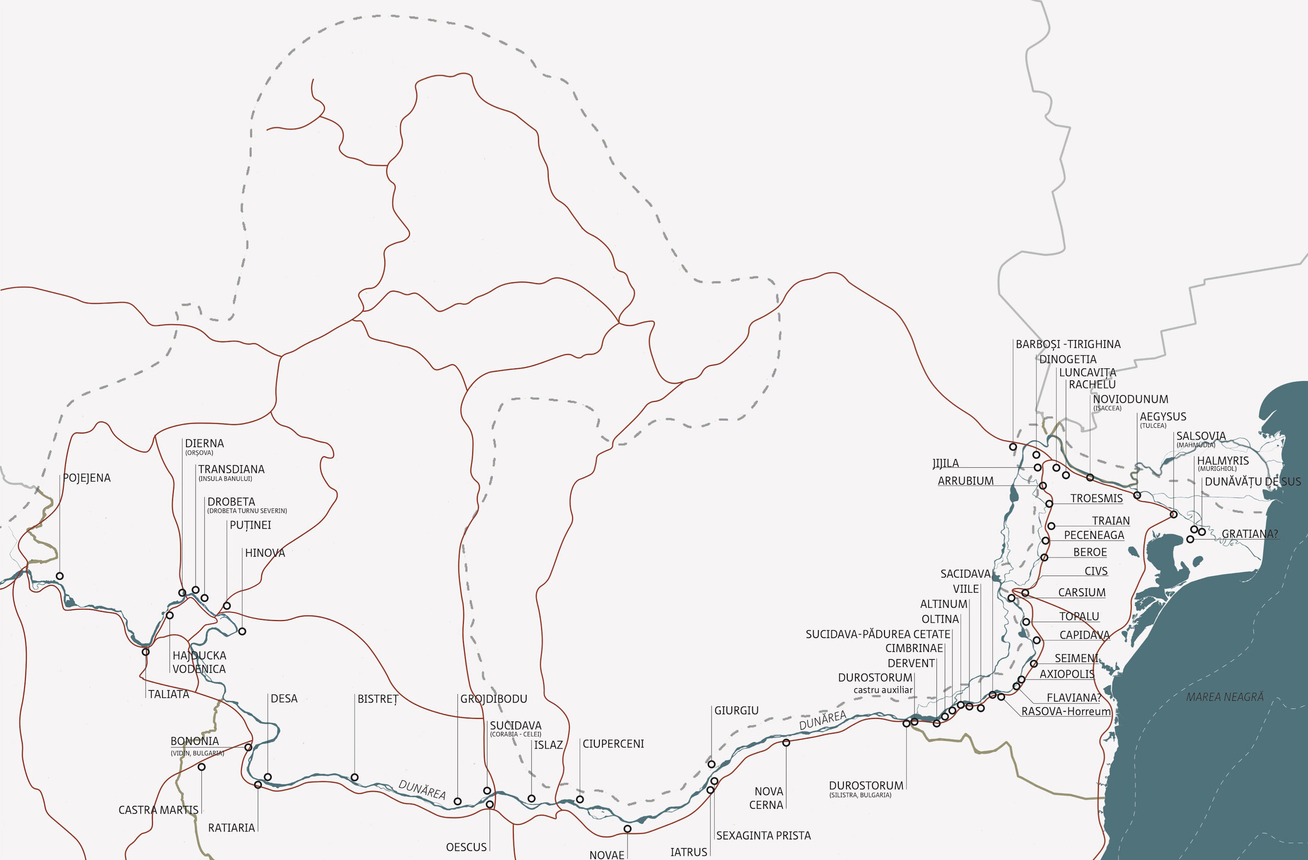
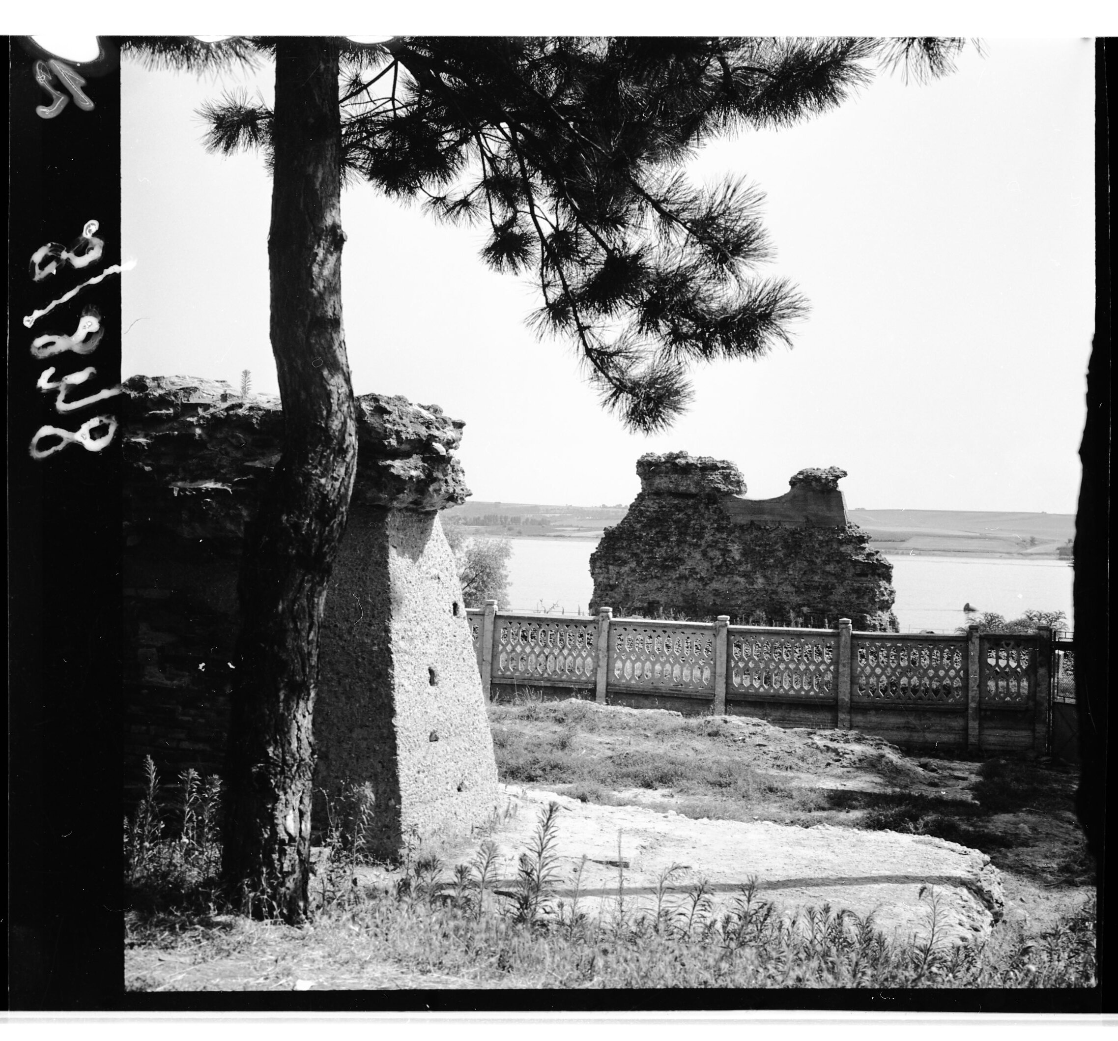
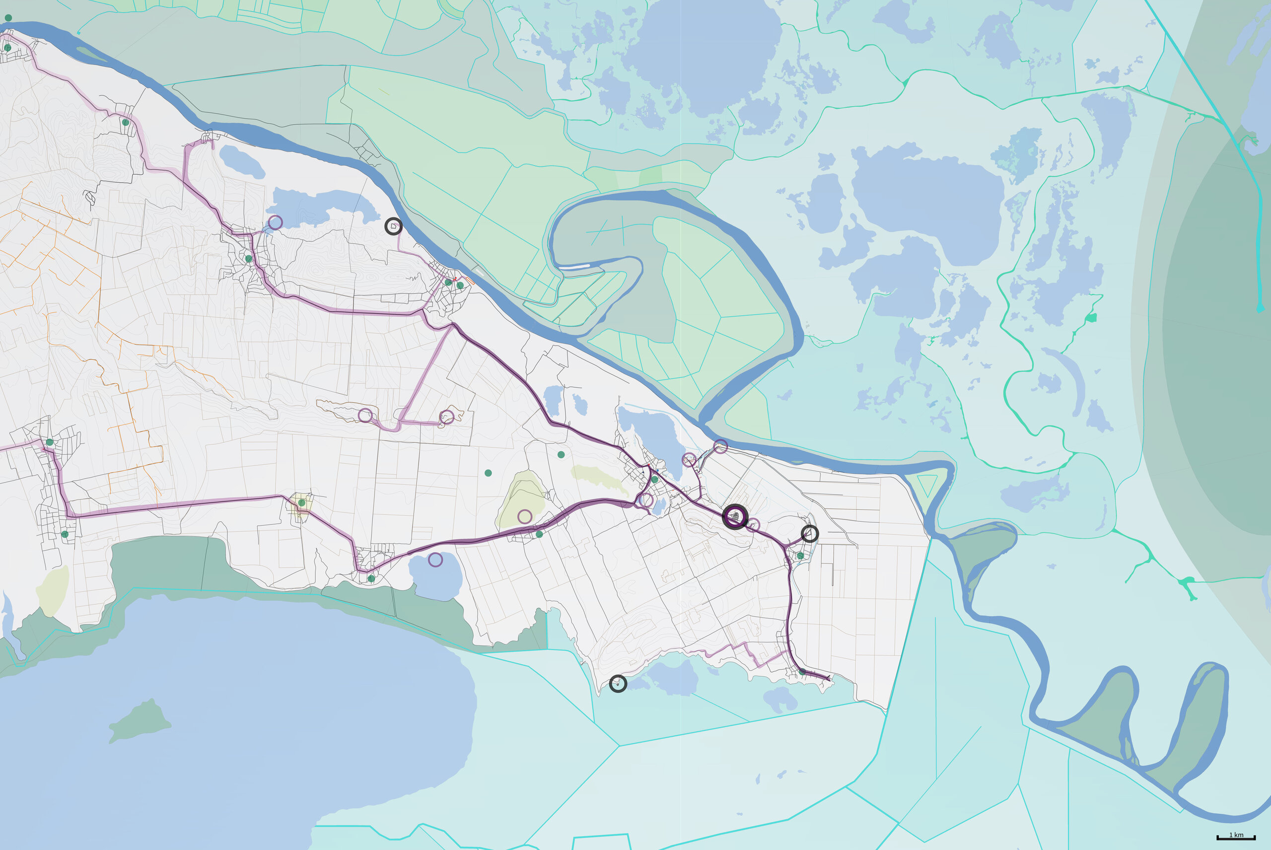
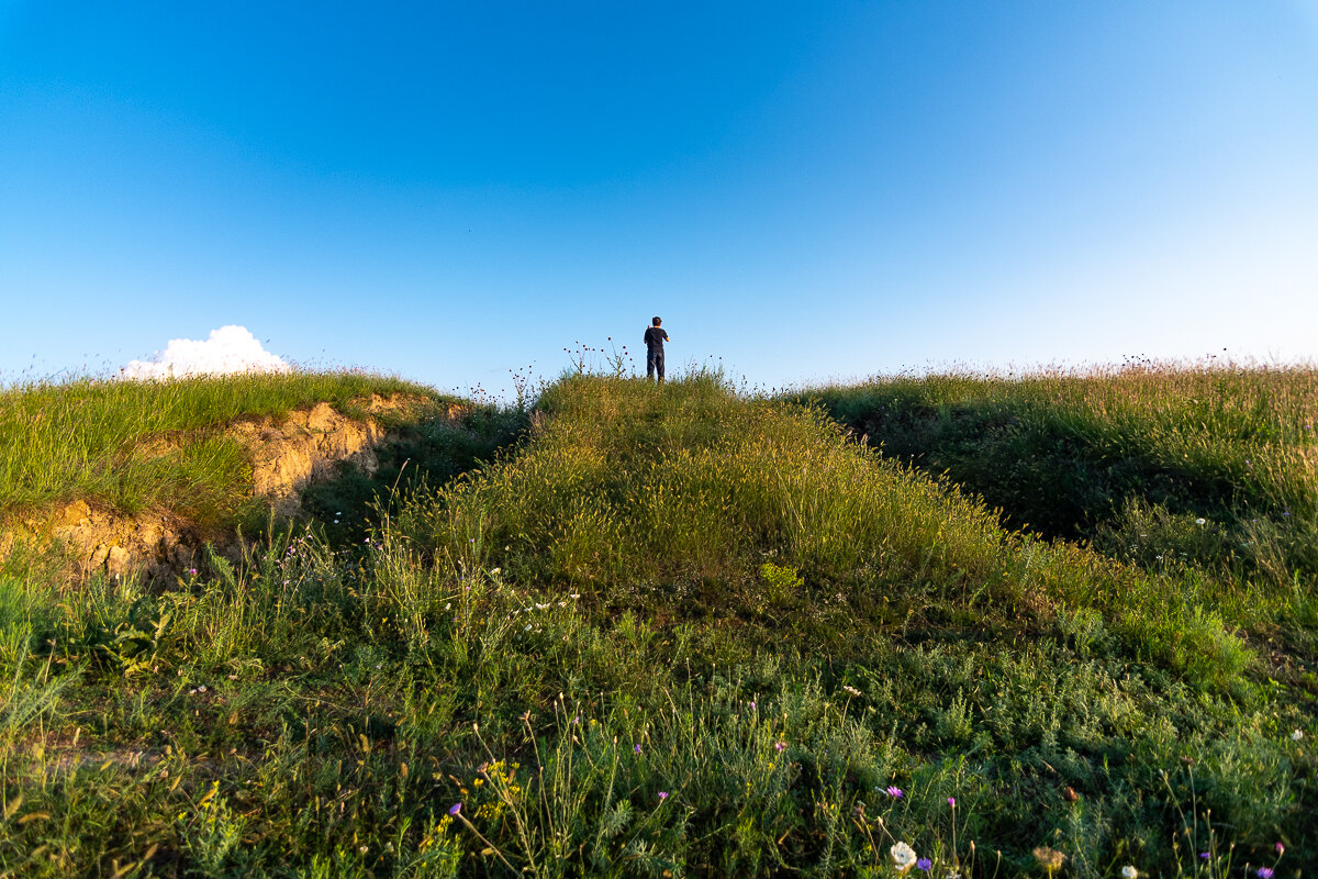
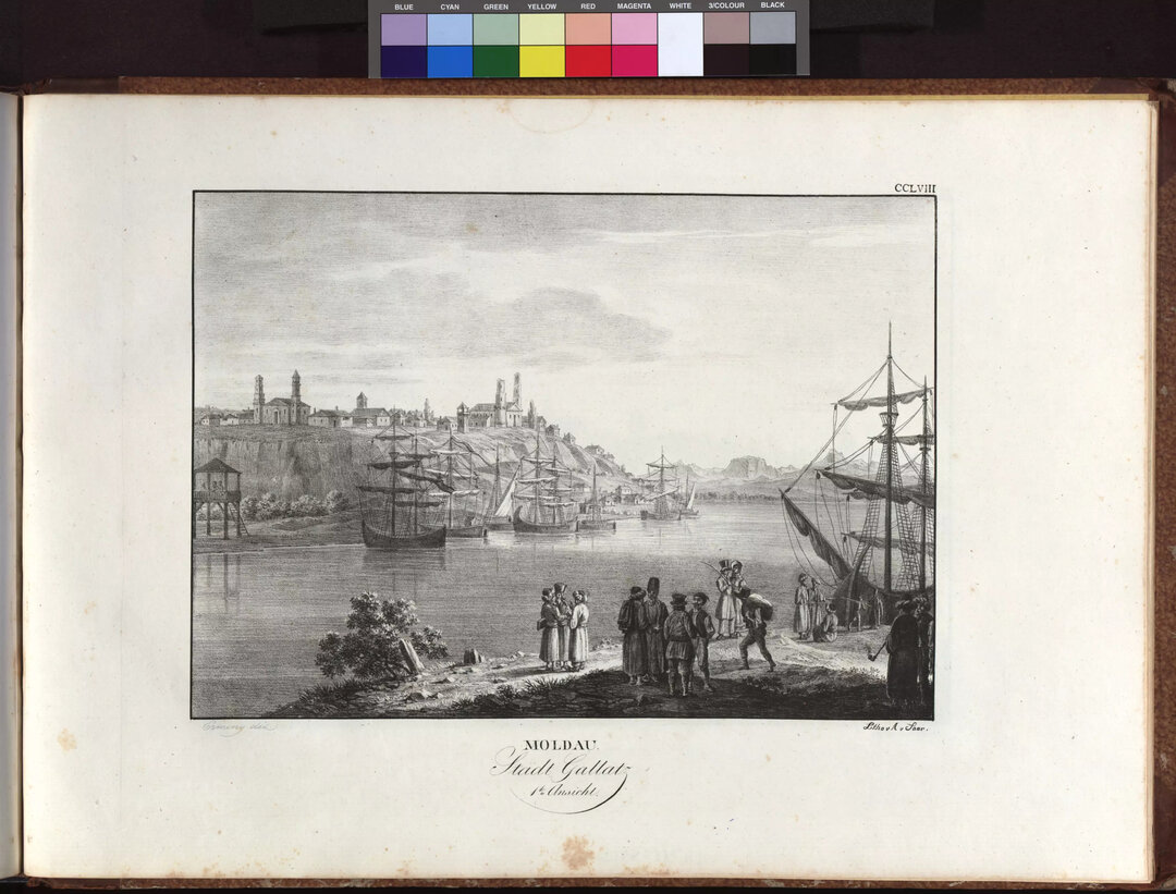
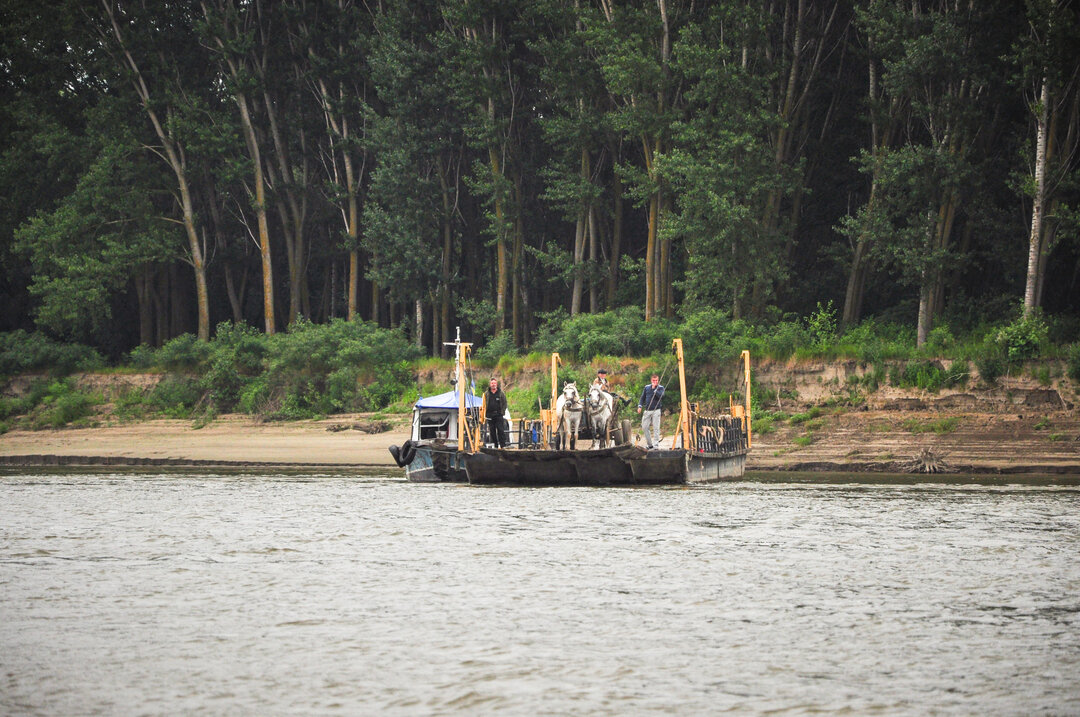
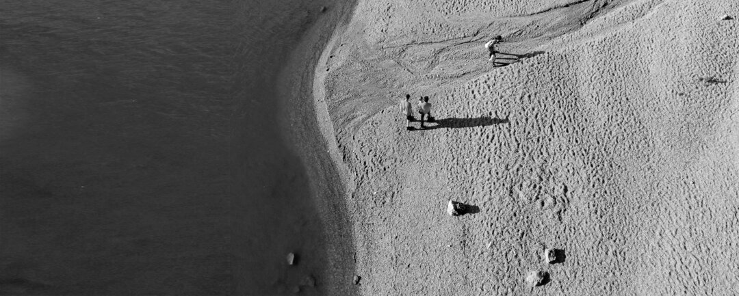
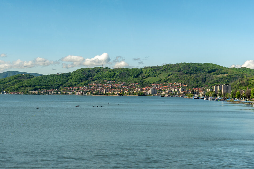
The first phase of the study focused on the identification of all archaeological sites. In the summer of 2021, a joint UAUIM and INCDT team traveled across the entire Romanian Danube Limes to inventory the current status of each site and the possibilities of connection with the existing infrastructure. One of the results of the fieldwork was the photographic material, unique in that, for the first time, all the sites were photographed at the same time. A clear overview of the existing situation was obtained for each archaeological site, starting with Dierna in Orșova and ending with the Gratiana Fortress in Upper Danube, near the Sfântu Gheorghe Arm.
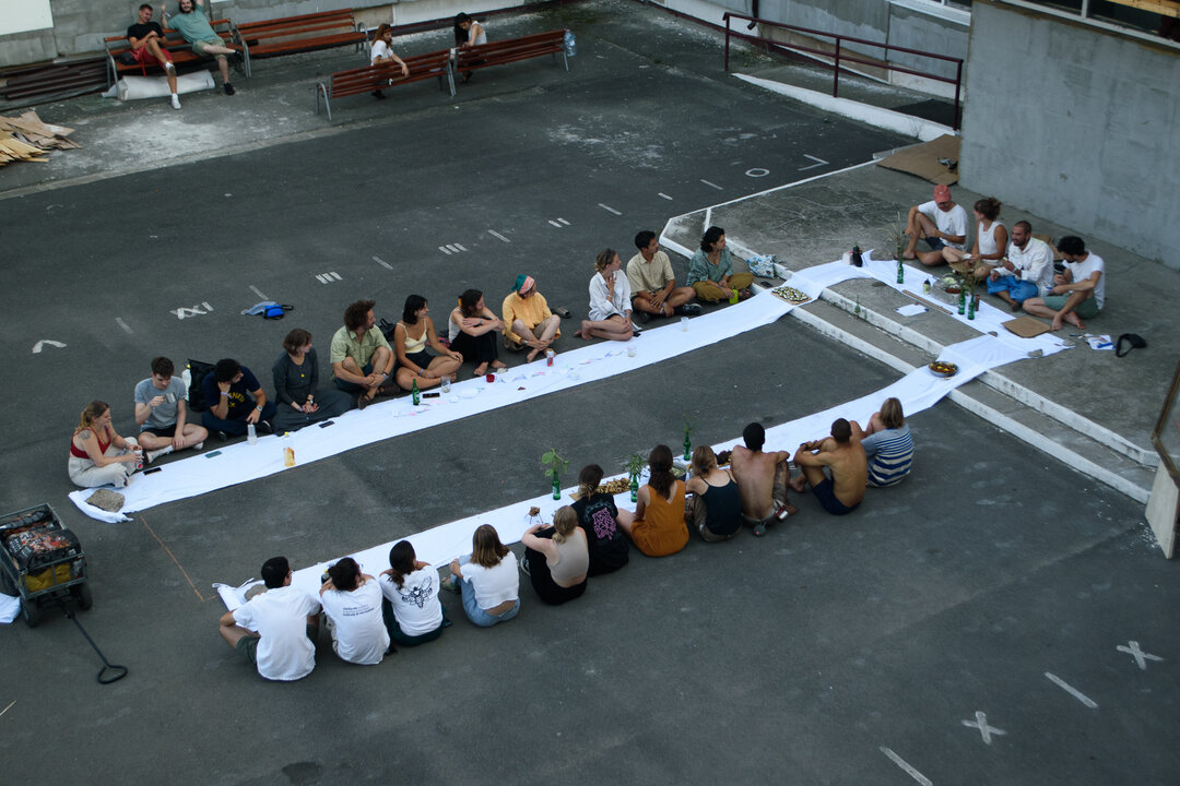
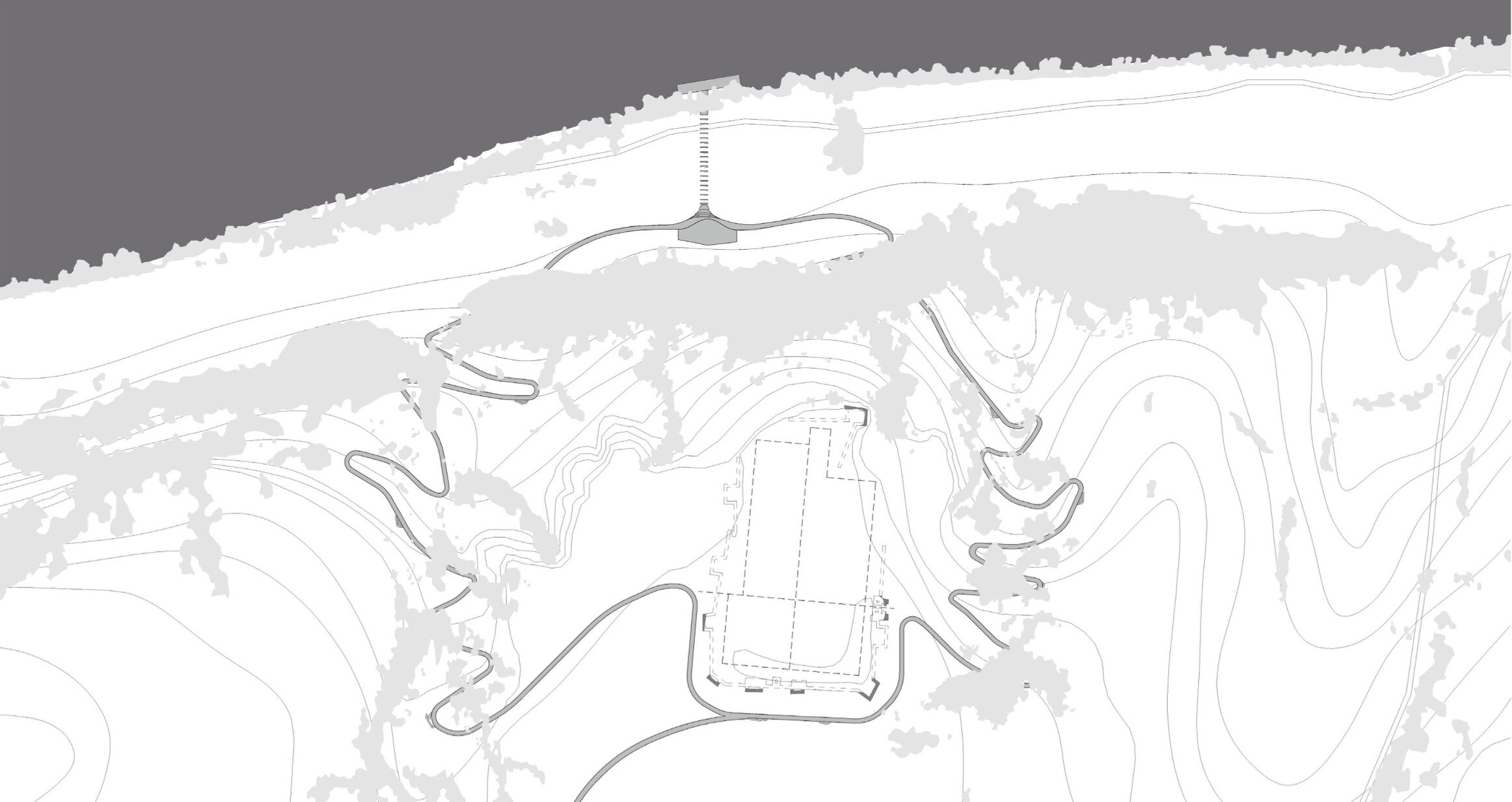
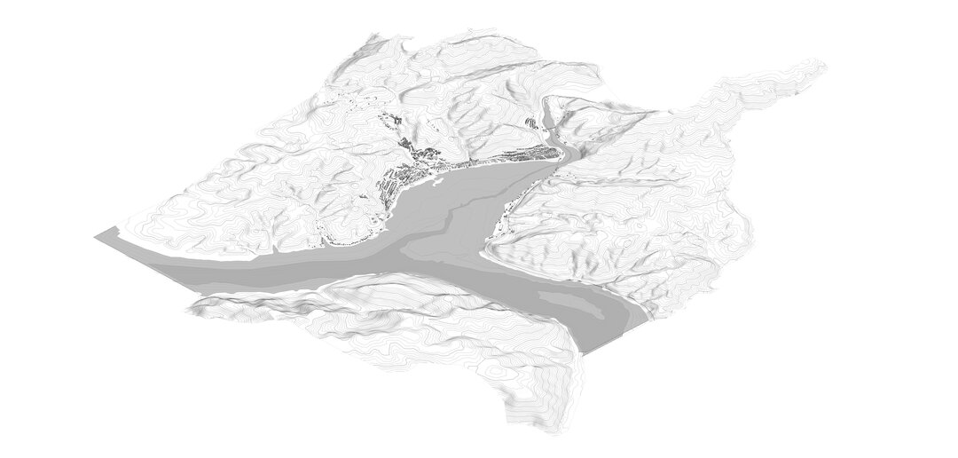
Theresearch continued, within the design workshops of the Department "Synthesis ofArchitecturalDesign", Faculty of Architecture, UAUIM. The tutoring team developed an analysis method for contextualizing the sites in relation to the current situation in the territories crossed by the Danube. Territorial readings were carried out for each site, first at a local scale, including the Danube, the nearest locality, infrastructural, environmental and tourist elements. The analysis was extended to larger scales, including several sites, finally reaching geographical scales that led to the outlining of tourism scenarios.
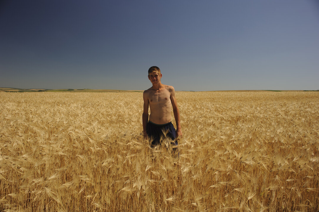
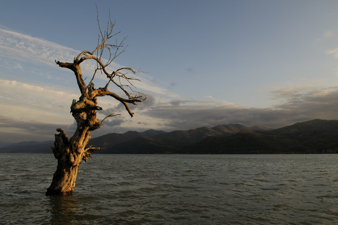
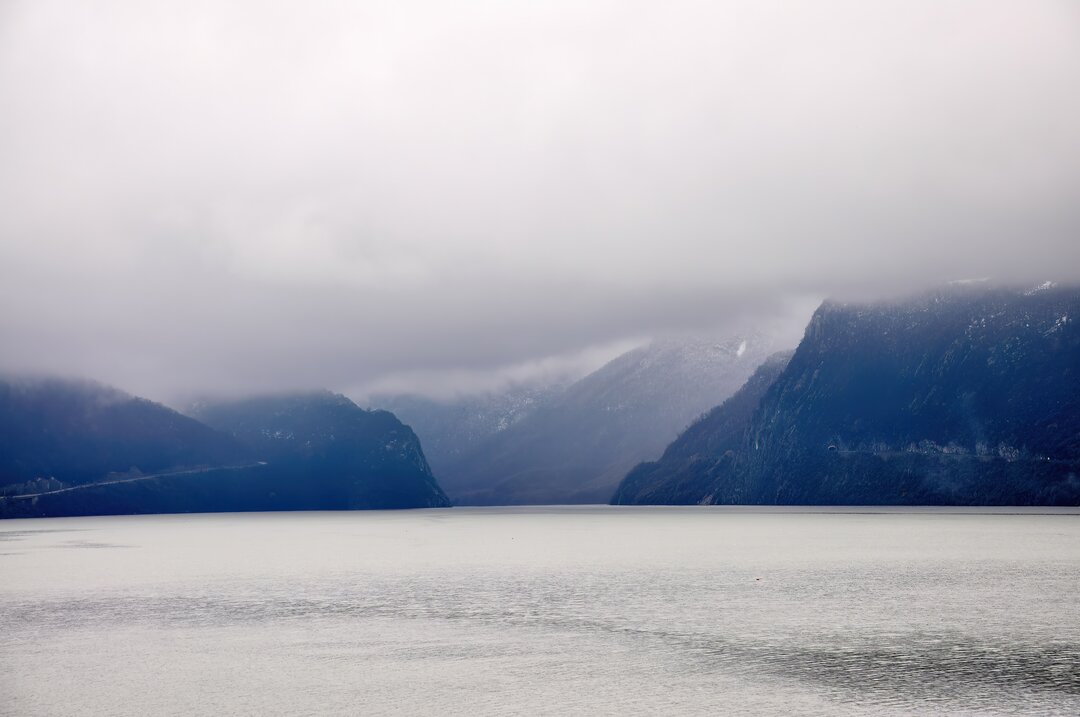
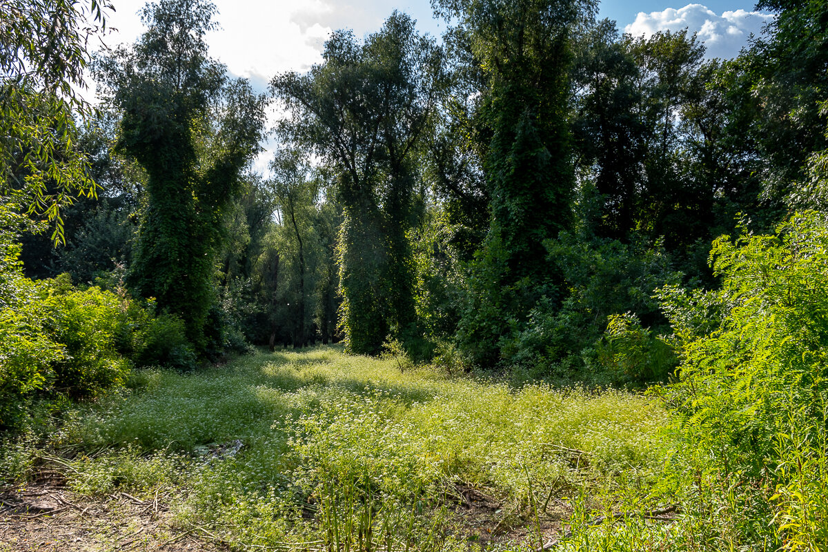
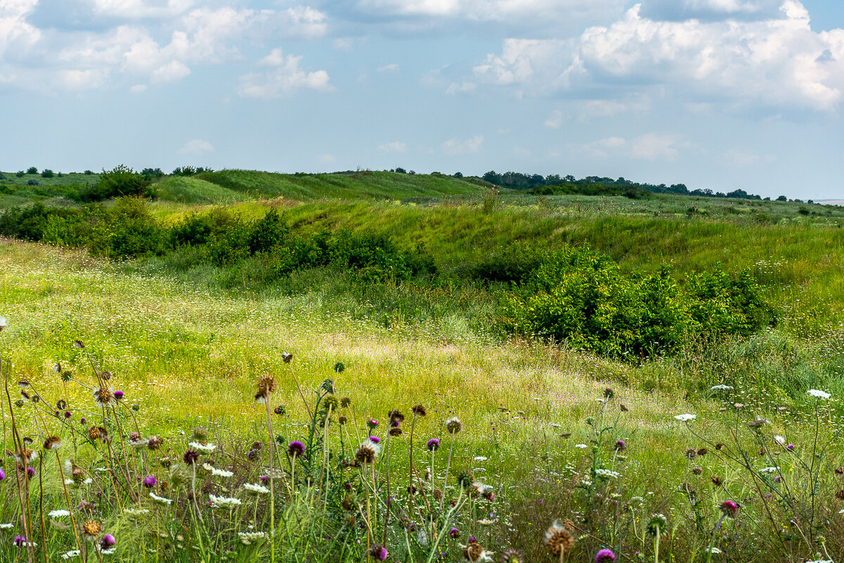
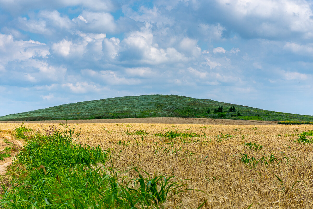
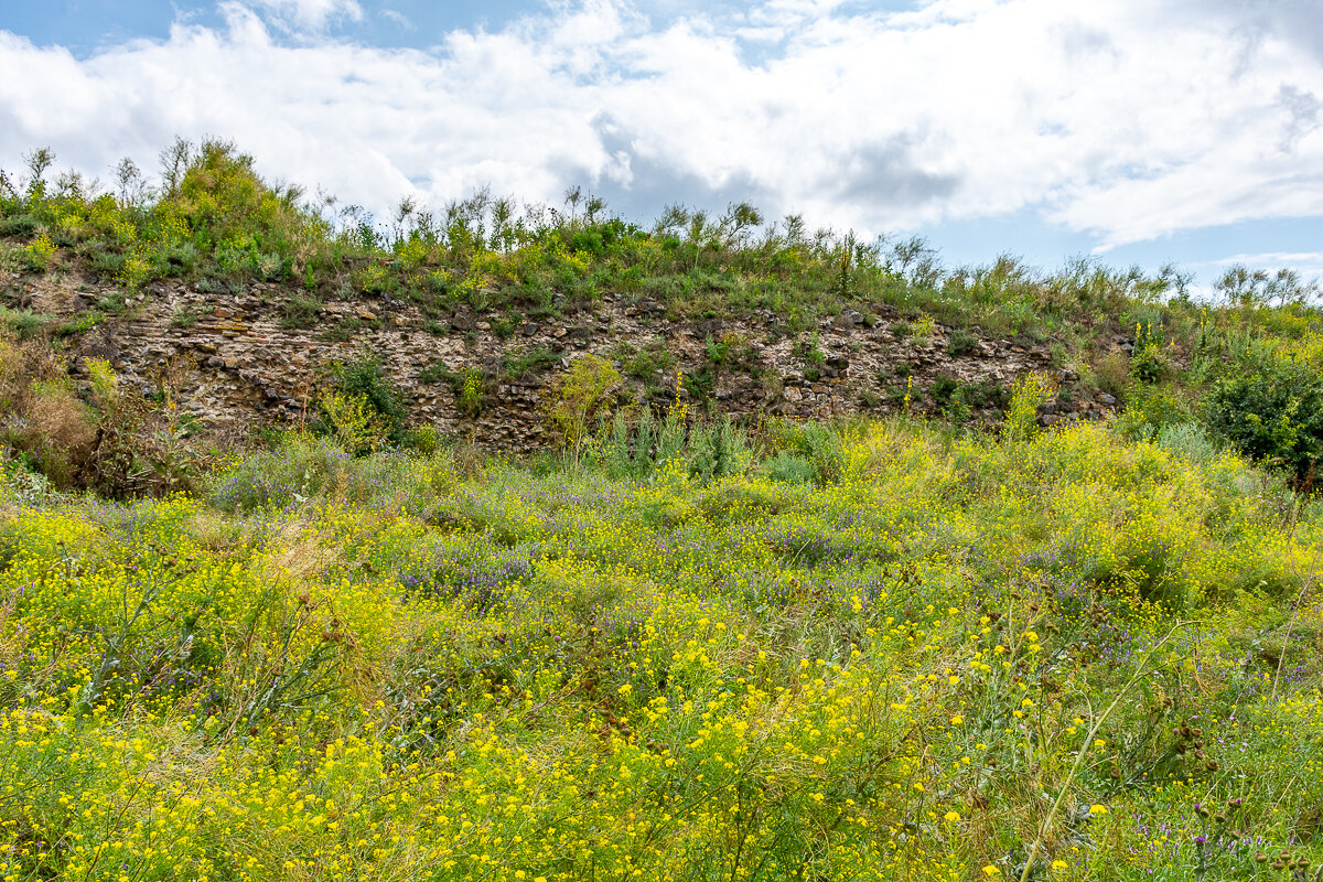
A decisive conclusion for the configuration of a future cultural route was that the natural landscape in Romania was preserved unaltered in many archaeological sites. In the attempt to recover authenticity, the value of the natural landscape represents a unique quality in Europe. Archaeological sites in the other countries crossed by the Danube, although connected to the infrastructure and much more developed in terms of tourism, have long lost the original image of the natural context.
TheFrench architect and philosopher Paul Virilio regarded the old war theaters as a vast open-air museum (Virilio, 1994). Romania's Danube Limes, with its natural landscapes and, paradoxically, lack of accessibility, has the potential to become a territorial museum that can recover the images and atmosphere of the historical past. The architect Viollet-le-Duc proposed, along with the restoration of monuments, the restoration of the territory of which they are part, seeing a close link between geological and architectural elements (Viollet-le-Duc apud Favre, 1875). In our case, the issue is less one of restoring the landscape than of preserving it as it is today. The historian and archaeologist Vasile Pârvan described the whole territory of Dobrogea as a fortress (Pârvan, 1923, p.17). Point elements, fortresses scattered in the landscape can only be understood on a territorial scale, in a vast defensive system that only works together with the territory. Location and architectural conformity are determined by context, and deciphering the original context is essential to understanding archaeological sites.
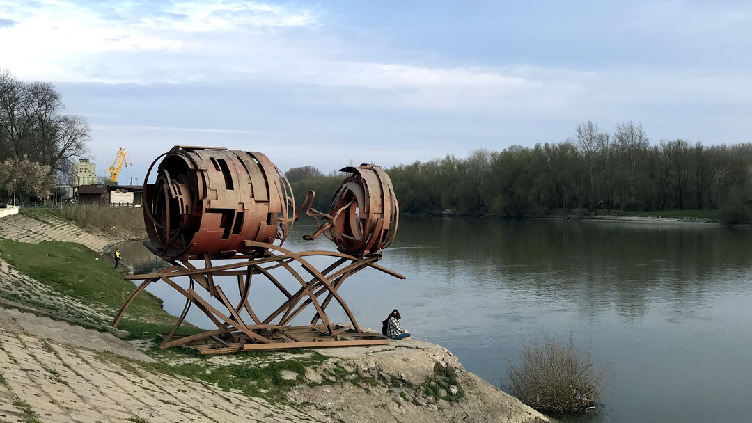
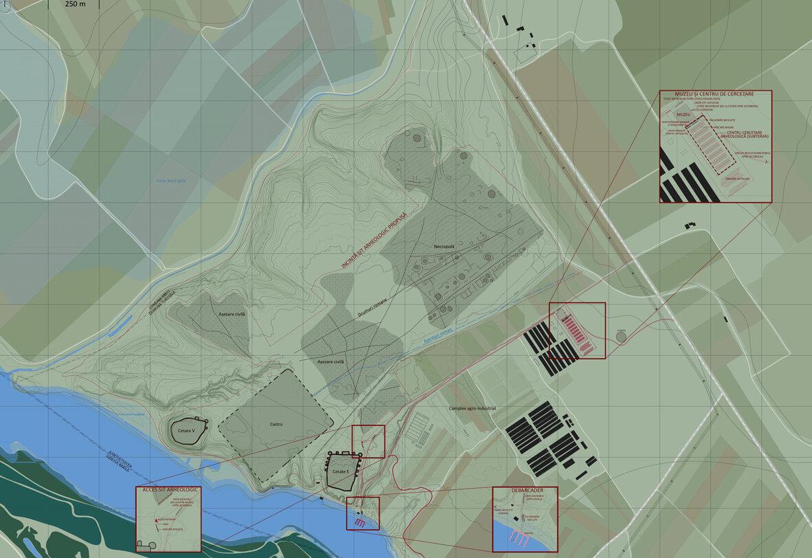
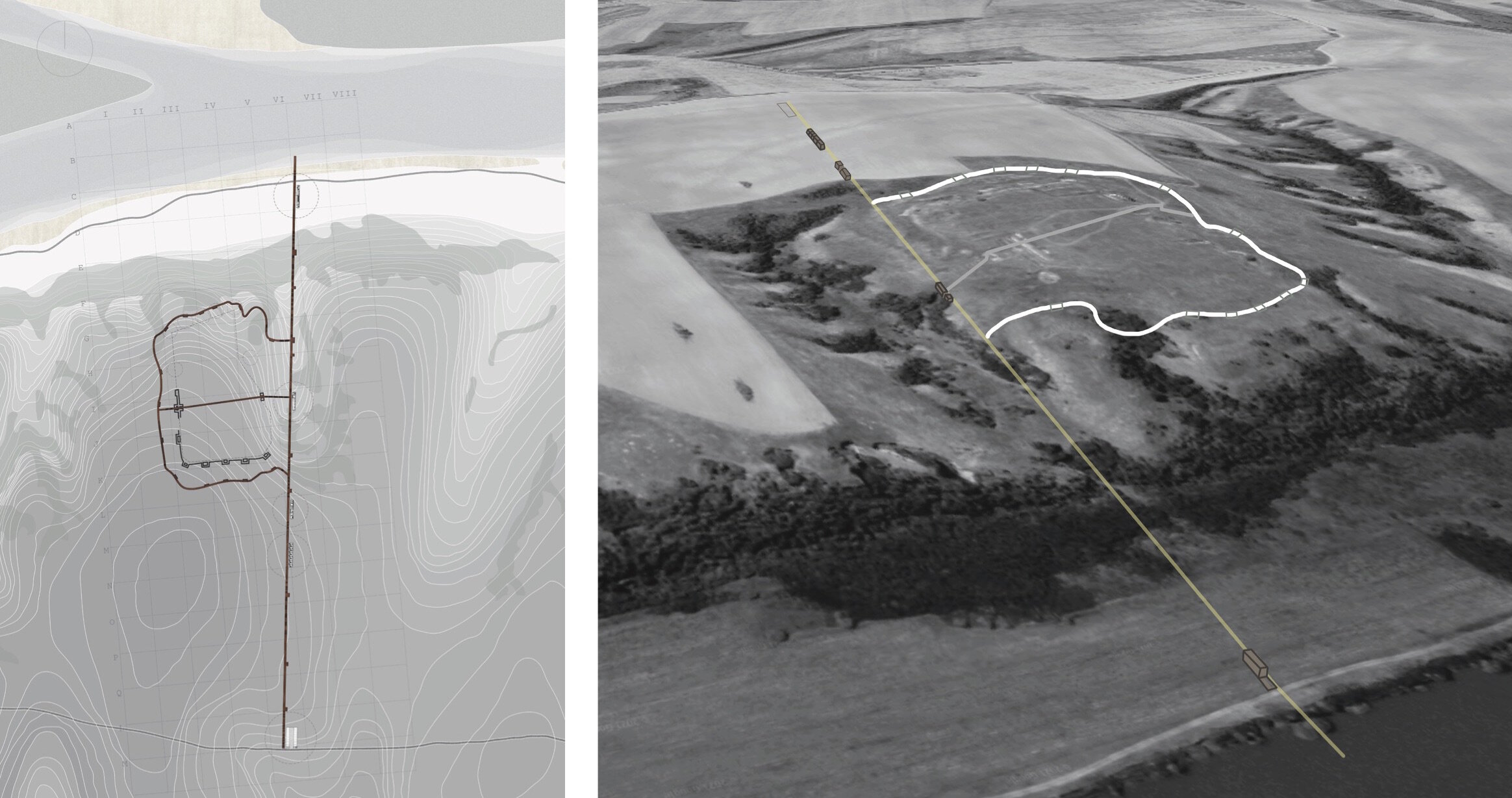
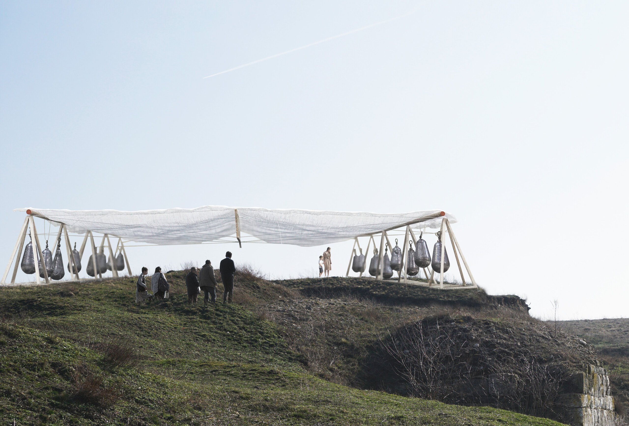
Considering the heritage value of the landscape, the research led to the identification of visibility and reconstruction measures for archaeological sites. These are minor in-situ, non-invasive and reversible interventions, which are limited to certain routes - tourist trails, signposts, surface-rooted vegetation or light, temporary structures, which allow reconfiguration of the original volumes or protection of archaeological sites. It is proposed to externalize major tourist flows to nearby urbanized areas through museums, exhibitions or thematic festivals. Through technology, virtual reconstructions of the sites can be made, thus freeing archaeological areas from possible future tourist infrastructure that could damage the landscape.
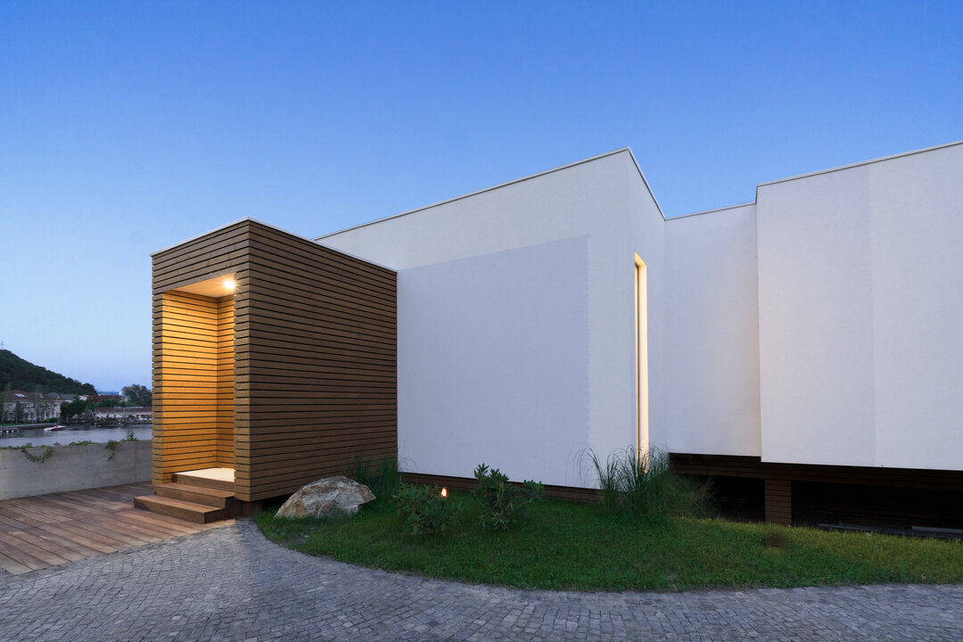
Based on the territorial analyses of the firststage of the study, the students of the design workshop guided by the UAUIM team involved in the research developed draft visitation scenarios for all the archaeological sites of the Danube Limes on the Romanian territory, detailing the pilot site of Sacidava.
The visibility enhancement measures proposed by UAUIM have been applied during the Living Danube Limes project to all nine pilot sites in the Danube countries, selectively according to local particularities: Gunzenhausen (Germany), St. Johann im Mauerthale (Austria), Iža (Slovakia), Matrica/Százhalombatta (Hungary), Ad Labores/Kopačevo (Croatia), Lederata/Ram (Serbia), Bononia/Vidin (Bulgaria) and Sacidava (Romania).
NOTES
1 Interreg Danube Transnational Programme - "Living Danube Limes - Valorizing cultural heritage and fostering sustainable tourism by LIVING the common heritage on the DANUBE LIMES as basis for a Cultural Route".
2 Danube University Krems; Friedrich-Alexander University Erlangen, Nürnberg; Paris-Lodron-University of Salzburg; National Tourism Cluster "Bulgarian Guide", Budapest University of Technology and Economics, Institute for Theoretical and Applied Mechanics; Municipal Monument Preservation Institute Bratislava; Slovak University of Technology in Bratislava; Centre for Heritage Interpretation, Sofia; Association of Danube River.
Bibliography
Favre, A. (1875). Réunion extraordinaire. in: Bulletin de la Société Géologique en France, nr. 3, (pp.145-46)
Pârvan V. (1923). Începuturile vieții romane la gurile Danării. București: Cultura Națională
Virilio, P. (1994). Bunker Archeology. New York: Princeton Architectural Press

-topaz-denoise-enhance-sharpen--15883-m.jpg)